Product successfully added to your shopping cart
There are 0 items in your cart. There is 1 item in your cart.
Pascaarte Van't Westlyckste deel vande Middelandsche Zee [&] Pascaarte Van't...
Johannes Janssonius (*1588 - †1664)Reference 11869
Description
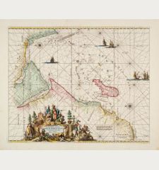
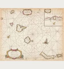
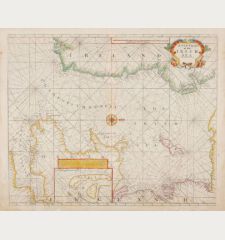
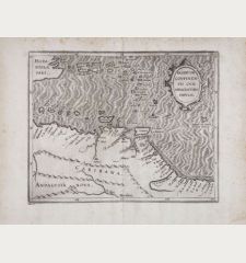
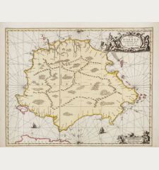
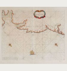
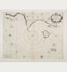
Two rare and very decorative nautical charts of the entire Mediterranean area. The western and eastern part of the Mediterranean printed on two sheets. The seachart of the western part shows the west coast of Spain with the Balearic Islands, the south coast of France with Corsica, Italy with sardines and Sicily, as well as the northwest coast of Africa. The sheet with the eastern part shows Italy with Sicily and Malta, the Balkans, Greece, Asia Minor, the northeast coast of Africa up to the east coast of the Mediterranean Sea with Cyprus.
With two cartouches with Dutch and Latin title on each chart, mileage scales and two compass roses. With five keys of names in which even the smallest islands are listed. German text on verso with description of the Mediterranean.
From the German edition of Atlas Maritimus, which was added to only a few editions of Atlas Novus by Johannes Janssonius. The sea atlas was published in Amsterdam in 1650 under the title Das Fünffte Theil Des Grossen Atlantis, Welches begreiffet Die Wasser-Welt, Das ist: Eine sehr kunstreiche Abbildung und Beschreibung aller Wasser und Meeren, welche den gantzen Erdbodem umgeben, und durch die Schiffarthen dieser zeiten entdecket worden. The map from this atlas are today among the earliest printed nautical charts of the respective region. The sea atlases of Van Keulen, Colom, Lootsman or Goos appeared later in the second half of the 17th Century.
Details
| Cartographer | Johannes Janssonius |
| Title | Pascaarte Van't Westlyckste deel vande Middelandsche Zee [&] Pascaarte Van't Oostelyckste deel vande Middelandsche Zee |
| Publisher, Year | Johannes Janssonius, Amsterdam, 1650 |
| Plate Size | 42.0 x 54.5 cm (16.5 x 21.5 inches) |
| Sheet Size | 50.0 x 59.0 cm (19.7 x 23.2 inches) |
| Reference | Van der Krogt, P.: Koeman's Atlantes Neerlandici, 0301:1 & 0302:1A; Zacharakis, C.G.: A Catalogue of Printed Maps of Greece, 1477-1800, No. 1704/1119 (eastern part) |
Condition
Cartographer
Images to Download
If you like to download the image of this map with a resolution of 1200 pixels, please follow the link below.
You can use this image for publication on your personal or commercial websites for free if you set a link to this website. If you need photographs with a higher resolution, please contact us.
Sea Charts - Janssonius, Johannes - Pascaarte Van't Westlyckste deel vande...

![Johannes Janssonius: Pascaarte Van't Westlyckste deel vande Middelandsche Zee [&] Pascaarte Van't Oostelyckste deel vande Middelandsche Zee Antique Maps, Janssonius, Mediterranean, 1650: Pascaarte Van't Westlyckste deel vande Middelandsche Zee [&] Pascaarte Van't Oostelyckste deel vande Middelandsche Zee](https://www.vintage-maps.com/2369-large_default/janssonius-mediterranean-1650.jpg)
![[Manuscript Chart of the South Atlantic Ocean] Tweede stuck wassende Graedkaert van de Kaap Verdische Eilanden tot de Kaap [Manuscript Chart of the South Atlantic Ocean] Tweede stuck wassende Graedkaert van de Kaap Verdische Eilanden tot de Kaap](https://www.vintage-maps.com/3745-home_default/blaeu-manuscript-1690.jpg)
