Product successfully added to your shopping cart
There are 0 items in your cart. There is 1 item in your cart.
Total products

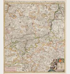
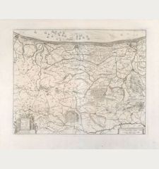
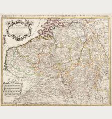
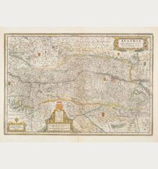
Comitatuum Hannoniae et Namurci Descripto
Johannes Janssonius (*1588 - †1664)Old coloured map of Namur, Hainaut, Belgium. Printed in Amsterdam circa 1636.
Reference 10403
Description
Old coloured copper engraved map of the central part of Belgium by J. Janssonius. Showing the regions Namur and Hainaut with Bruxelles and Mons. Cartouche with two coats of arms and a cherub.
Details
| Cartographer | Johannes Janssonius |
| Title | Comitatuum Hannoniae et Namurci Descripto |
| Publisher, Year | Amsterdam, circa 1636 |
| Plate Size | 38.4 x 49.6 cm (15.1 x 19.5 inches) |
| Sheet Size | 48.0 x 58.8 cm (18.9 x 23.1 inches) |
Condition
Small tears in margin backed.
Cartographer
Johannes Janssonius also known as Jan Jansson was born 1588 in Arnhem, Netherlands. His father was a bookseller and publisher (Jan Janszoon the Elder). When he married the daughter of the cartographer Jodocus Hondius he also set up a business as book publisher in Amsterdam. His first map was published in 1616. Around 15 years later he set up a partnership with his brother in law Hondius add issued further editions of the Mercator/Hondius atlas. After his death in 1664, his heirs still have published several maps. Many of his plates have been acquired by Pieter Schenk and Gerard Valk.
Images to Download
If you like to download the image of this map with a resolution of 1200 pixels, please follow the link below.
You can use this image for publication on your personal or commercial websites for free if you set a link to this website. If you need photographs with a higher resolution, please contact us.
Johannes Janssonius: Comitatuum Hannoniae et Namurci Descripto.
Old coloured map of Namur, Hainaut, Belgium. Printed in Amsterdam circa 1636.
Belgium - Janssonius, Johannes - Comitatuum Hannoniae et Namurci Descripto

