Product successfully added to your shopping cart
There are 0 items in your cart. There is 1 item in your cart.
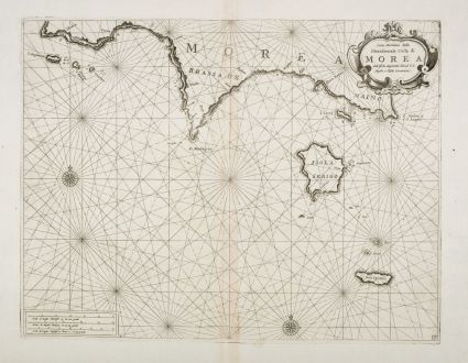
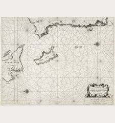
Carta Maritima della Meridionale Costa di Morea ...
Pieter Goos (*1615 - †1675)Reference 12667
Description
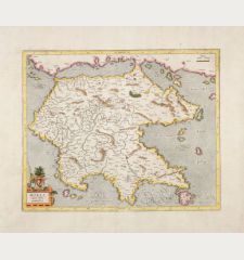
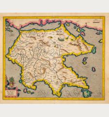
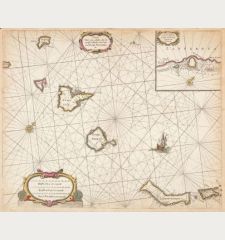
Rare sea chart of the Peloponnese by Pieter Goos after F. M. Levanto. Showing the southern coast of the Peloponnese from Methoni (Modon, Μεθώνη), Mani (Μάνη) to Cape Malea and the islands of Kythira (Κύθηρα), Andikythira (Αντικύθηρα) and Sapientza (Σαπιέντζα) in the Ionian Sea. Decorated with rhumb lines, two compass roses and a title cartouche. Besides sandbanks and anchorages, water depths are also indicated. Orientated to the North. Here in the variant published by Coronelli in Venice in 1698.
Details
| Cartographer | Pieter Goos |
| Title | Carta Maritima della Meridionale Costa di Morea ... |
| Publisher, Year | V. M. Coronelli, Venice, 1698 |
| Plate Size | 39.2 x 51.8 cm (15.4 x 20.4 inches) |
| Sheet Size | 48.0 x 66.7 cm (18.9 x 26.3 inches) |
| Reference | Zacharakis, C.G.: A Catalogue of Printed Maps of Greece, 1477-1800, No. 2031/1354 |
Condition
Cartographer
Images to Download
If you like to download the image of this map with a resolution of 1200 pixels, please follow the link below.
You can use this image for publication on your personal or commercial websites for free if you set a link to this website. If you need photographs with a higher resolution, please contact us.
Greece - Goos, Pieter - Carta Maritima della Meridionale Costa di...


![[Candia, Crete, Karpathos] [Candia, Crete, Karpathos]](https://www.vintage-maps.com/2939-home_default/bordone-greece-crete-and-karpathos-1528-1565.jpg)
![[Euboea, Negroponte, Bosporus, Istanbul] [Euboea, Negroponte, Bosporus, Istanbul]](https://www.vintage-maps.com/2937-home_default/bordone-greece-negroponte-euboea-1528-1565.jpg)
