Product successfully added to your shopping cart
There are 0 items in your cart. There is 1 item in your cart.
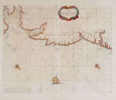
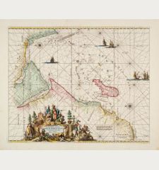
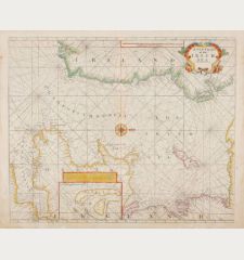
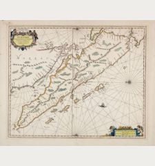
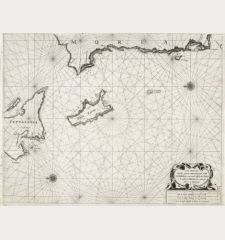
De Cust van Engelandt tuschen Welles en t'Eylandt Coket
Pieter Goos (*1615 - †1675)Reference 12049
Description
Rare sea chart of the east coast of England by Pieter Goos. Showing the east coast of Norfolk, Yorkshire and Durham with Boston, Kingston Upon Hull, Bridlington, Scarborough, Whitby and Newcastle with the Tyne river. Decorated with rhumb lines, two compass roses, a sailing ship and a title cartouche. In addition to sandbanks and anchorages, also water depths are indicated. Orientated with north to the right.
Details
| Cartographer | Pieter Goos |
| Title | De Cust van Engelandt tuschen Welles en t'Eylandt Coket |
| Publisher, Year | Amsterdam, circa 1676 |
| Plate Size | 43.1 x 53.3 cm (17.0 x 21.0 inches) |
| Sheet Size | 51.7 x 58.5 cm (20.4 x 23.0 inches) |
Condition
Cartographer
Images to Download
If you like to download the image of this map with a resolution of 1200 pixels, please follow the link below.
You can use this image for publication on your personal or commercial websites for free if you set a link to this website. If you need photographs with a higher resolution, please contact us.
Sea Charts - Goos, Pieter - De Cust van Engelandt tuschen Welles en...

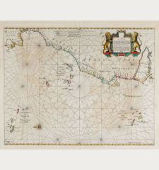
![[Manuscript Chart of the South Atlantic Ocean] Tweede stuck wassende Graedkaert van de Kaap Verdische Eilanden tot de Kaap [Manuscript Chart of the South Atlantic Ocean] Tweede stuck wassende Graedkaert van de Kaap Verdische Eilanden tot de Kaap](https://www.vintage-maps.com/3745-home_default/blaeu-manuscript-1690.jpg)
