Product successfully added to your shopping cart
There are 0 items in your cart. There is 1 item in your cart.
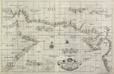
Carta particolare che comincia con il capo Dofar in Arabia è finisce con il capo...
Robert Dudley (*1574 - †1649)Reference 11305
Description
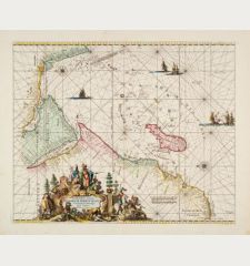
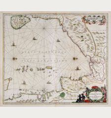
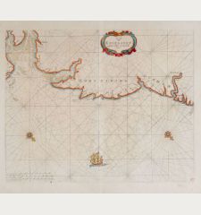
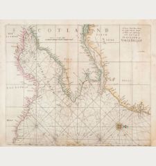
First edition of the striking sea chart of the Arabian Sea by Sir Robert Dudley from his Dell'Arcano del Mare (Secrets of the Sea). Engraved by A. F. Lucini and published 1646 in Florence. Shows the south-eastern part of the Arabian peninsula, the southern area of the Red Sea up to the north-western part of India in the east. Decorated with a cartouche in shape of a shell, a compass rose and a two-masted ship.
Lord Wardington notes to Dudley's Dell'Arcano del Mare:
One of the greatest Atlases of the World and one of the most complex ever produced: it is the first sea-atlas of the whole world; the first with all the charts constructed using Mercator's new projection, as corrected by Edward Wright; the first to give magnetic declination; the first to give prevailing winds and currents. the first to expound the advantages of 'Great Circle Sailing'; and the first sea-atlas to be compiled by an Englishman.
Details
| Cartographer | Robert Dudley |
| Title | Carta particolare che comincia con il capo Dofar in Arabia è finisce con il capo Cintapora nell Indie... d'Asia Carta Prima |
| Publisher, Year | Robert Dudley, Florence, 1646 |
| Plate Size | 49.3 x 76.4 cm (19.4 x 30.1 inches) |
| Sheet Size | 52.0 x 79.3 cm (20.5 x 31.2 inches) |
Condition
Cartographer
Images to Download
If you like to download the image of this map with a resolution of 1200 pixels, please follow the link below.
You can use this image for publication on your personal or commercial websites for free if you set a link to this website. If you need photographs with a higher resolution, please contact us.
Sea Charts - Dudley, Robert - Carta particolare che comincia con il capo...

![[Manuscript Chart of the South Atlantic Ocean] Tweede stuck wassende Graedkaert van de Kaap Verdische Eilanden tot de Kaap [Manuscript Chart of the South Atlantic Ocean] Tweede stuck wassende Graedkaert van de Kaap Verdische Eilanden tot de Kaap](https://www.vintage-maps.com/3745-home_default/blaeu-manuscript-1690.jpg)
