Product successfully added to your shopping cart
There are 0 items in your cart. There is 1 item in your cart.
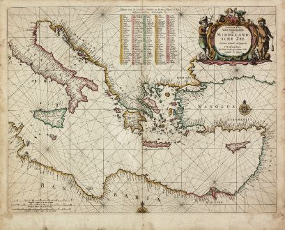
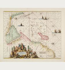
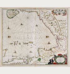
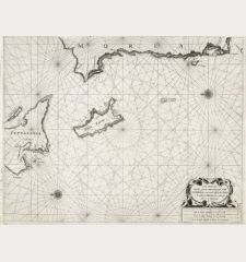
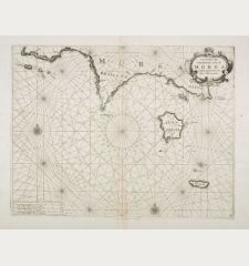
Paskaerte van't Oostelyckste der Middelandsche Zee
Pieter Goos (*1615 - †1675)Reference 11300
Description
Rare, highly decorative sea chart of the Eastern Mediterranean. With Sicily, Malta, Crete and Cyprus. From the sea atlas De Zee-Atlas, Ofte Water-Weereld, Waer in vertoont werden alle de Zee-Kusten Van het bekende des Aerd-Bodems, published by Pieter Goos in Amsterdam. With old hand colouring
Pieter Goos' marine atlases were held to be among the finest printed at the time and were often added to the nine or twelve volumes of Blaeu's Atlas Maior. (R. Shirley)
Details
| Cartographer | Pieter Goos |
| Title | Paskaerte van't Oostelyckste der Middelandsche Zee |
| Publisher, Year | Pieter Goos, Amsterdam, 1666 |
| Plate Size | 40.0 x 51.8 cm (15.7 x 20.4 inches) |
| Sheet Size | 45.5 x 56.3 cm (17.9 x 22.2 inches) |
| Reference | Phillips, P.L. (Atlases) 5690-19; Zacharakis/Scutari 1566/1049. |
Condition
Cartographer
Images to Download
If you like to download the image of this map with a resolution of 1200 pixels, please follow the link below.
You can use this image for publication on your personal or commercial websites for free if you set a link to this website. If you need photographs with a higher resolution, please contact us.
Sea Charts - Goos, Pieter - Paskaerte van't Oostelyckste der...

![[Manuscript Chart of the South Atlantic Ocean] Tweede stuck wassende Graedkaert van de Kaap Verdische Eilanden tot de Kaap [Manuscript Chart of the South Atlantic Ocean] Tweede stuck wassende Graedkaert van de Kaap Verdische Eilanden tot de Kaap](https://www.vintage-maps.com/3745-home_default/blaeu-manuscript-1690.jpg)
