Product successfully added to your shopping cart
There are 0 items in your cart. There is 1 item in your cart.
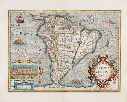
America Meridionalis
Jodocus Hondius (*1563 - †1612)Reference 12772
Description
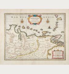
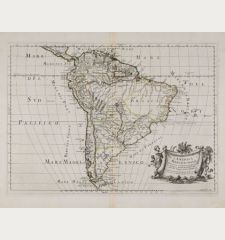
This highly sought-after map of South America was engraved by Jodocus Hondius. It is one of the earliest decorative maps available that depicts the South American continent. The map includes the Strait of Magellan, although Tierra Del Fuego is shown as part of the larger southern continent. The eastern region of Brazil is depicted as an island, isolated by a large Rio de la Plata that extends from the southern Atlantic Ocean to a sizable lake called Eupana Lacus. From this lake, the Rio Grande flows northward, eventually merging with the Amazon River and ultimately reaching the Atlantic Ocean.
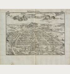
An interesting inset on the map portrays Cusco, the capital of Peru and the center of the Inca empire. Richly decorated with sea monsters, sailboats and a canoe.
Details
| Cartographer | Jodocus Hondius |
| Title | America Meridionalis |
| Publisher, Year | Henricus Hondius, Amsterdam, 1628 |
| Plate Size | 35.7 x 49.0 cm (14.1 x 19.3 inches) |
| Sheet Size | 47.7 x 56.7 cm (18.8 x 22.3 inches) |
| Reference | Van der Krogt, P.: Koeman's Atlantes Neerlandici, 9800:1A |
Condition
Cartographer
Images to Download
If you like to download the image of this map with a resolution of 1200 pixels, please follow the link below.
You can use this image for publication on your personal or commercial websites for free if you set a link to this website. If you need photographs with a higher resolution, please contact us.

![[West Indies, Jamaica, Hispaniola and South America] [West Indies, Jamaica, Hispaniola and South America]](https://www.vintage-maps.com/3035-home_default/bordone-central-america-caribbean-jamaica-hispaniola.jpg)
