Product successfully added to your shopping cart
There are 0 items in your cart. There is 1 item in your cart.
Africae nova tabula
Jodocus Hondius (*1563 - †1612)Reference 12776
Description
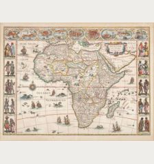
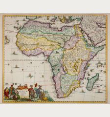
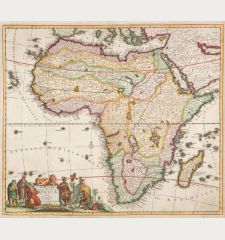
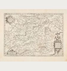
Beautiful map of Africa by Henricus Hondius. This version of Jodocus Hondius' map depicts the continent without its decorative borders, which were removed to accommodate the atlas format. The geography of the map is mostly speculative, following Blaeu's 1617 map, except for the Cuama River, which is shown originating from the mountains rather than the Sachaf Lake below the Mountains of the Moon (Lunae Montes). The depiction of the Nile's origin adheres to the Ptolemaic tradition of twin lakes located south of the equator. The Kingdom of Monomotapa is portrayed as occupying a significant portion of southern Africa. The ornamental elements include a wreath-style title cartouche, sailing ships, flying fish, sea monsters, and Neptune with a mermaid. The interior features elephants, lions, zebras, ostriches, and even a dragon. This version of the map is derived from the first French edition published in 1633, with French text on the verso.
Details
| Cartographer | Jodocus Hondius |
| Title | Africae nova tabula |
| Publisher, Year | Henricus Hondius, Amsterdam, 1633 |
| Plate Size | 37.8 x 49.8 cm (14.9 x 19.6 inches) |
| Sheet Size | 47.9 x 57.0 cm (18.9 x 22.4 inches) |
| Reference | Van der Krogt, P.: Koeman's Atlantes Neerlandici, 8600:1D.2 |
Condition
Cartographer
Images to Download
If you like to download the image of this map with a resolution of 1200 pixels, please follow the link below.
You can use this image for publication on your personal or commercial websites for free if you set a link to this website. If you need photographs with a higher resolution, please contact us.


