Product successfully added to your shopping cart
There are 0 items in your cart. There is 1 item in your cart.
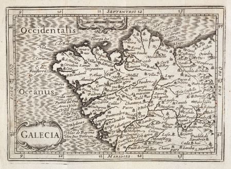
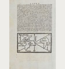
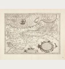
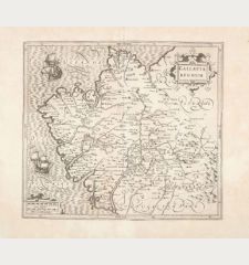
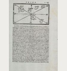
Galecia
Petrus Bertius (*1565 - †1629)Reference 12628
Description
Details
| Cartographer | Petrus Bertius |
| Title | Galecia |
| Publisher, Year | W. Blaeu, Amsterdam, 1635 |
| Plate Size | 9.7 x 13.5 cm (3.8 x 5.3 inches) |
| Sheet Size | 13.0 x 15.0 cm (5.1 x 5.9 inches) |
| Reference | Van der Krogt, P.: Koeman's Atlantes Neerlandici, 6045:342 |
Condition
Cartographer
Petrus Bertius (Bert) was a Flemish theologian, historian, geographer and cartographer grown up in Beveren (Flanders). In 1593 he became a librarian and professor of mathematics at the University of Leyden. His main cartographic works are a miniature world atlas of 1600, a pocket atlas dedicated to the architecture, the maps and the views of towns of the German Empire of 1616 (26 engraved maps and 101 town views) and a version of Ptolemy's Geographia containing 28 maps engraved by Mercator for his 1578 edition and 14 maps of Ortelius' Parergon.
1600: Tabularum Geographicarum Contractarum
1616: Commentariorum Rerum Germanicarum libri tres waarin o.a. opgenomen de Tabula Peutingeriana
1618: Theatri Geographiae Veteris
Images to Download
If you like to download the image of this map with a resolution of 1200 pixels, please follow the link below.
You can use this image for publication on your personal or commercial websites for free if you set a link to this website. If you need photographs with a higher resolution, please contact us.

![Tabula nova Hispaniae [Tabula noua Hispaniae] Tabula nova Hispaniae [Tabula noua Hispaniae]](https://www.vintage-maps.com/3236-home_default/fries-spain-portugal-1541.jpg)


![[Canary Islands] [Canary Islands]](https://www.vintage-maps.com/3021-home_default/bordone-spain-portugal-canaries-tenerife-gran-canaria.jpg)
