Product successfully added to your shopping cart
There are 0 items in your cart. There is 1 item in your cart.
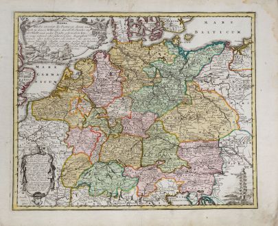
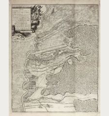
Herma. Welche anweist die Postwege, deren man sich in denen X Kreisen des H: R: Reichs...
Christoph Weigel (*1654 - †1725)Reference 11951
Description
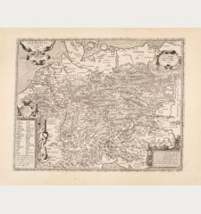
Postal route map of Germany with Benelux, Austria and Switzerland by Christoph Weigel. Decorated with two beautiful cartouches. From Bequemer Schul- und Reisen-Atlas also titled Atlas scholasticus et itinerarius by Christoph Weigel. First published in Nuremberg in 1718. Weigel's well-known travel atlas, which he published in collaboration with Professor Johann David Köhler.
Details
| Cartographer | Christoph Weigel |
| Title | Herma. Welche anweist die Postwege, deren man sich in denen X Kreisen des H: R: Reichs... |
| Publisher, Year | Johann Ernst Adelbulner, Nuremberg, 1718 |
| Plate Size | 32.4 x 39.7 cm (12.8 x 15.6 inches) |
| Sheet Size | 38.2 x 46.7 cm (15.0 x 18.4 inches) |
Condition
Cartographer
Images to Download
If you like to download the image of this map with a resolution of 1200 pixels, please follow the link below.
You can use this image for publication on your personal or commercial websites for free if you set a link to this website. If you need photographs with a higher resolution, please contact us.
Germany - Weigel, Christoph - Herma. Welche anweist die Postwege, deren...

![[Donau Strom von Sigmaringen bis Donauwörth] [Donau Strom von Sigmaringen bis Donauwörth]](https://www.vintage-maps.com/2606-home_default/anonymous-germany-baden-wuerttemberg-danube-1702.jpg)



![[De Boemia. / Tabula quarta & quinta Europae de nonnullis / Germaniae ...] [De Boemia. / Tabula quarta & quinta Europae de nonnullis / Germaniae ...]](https://www.vintage-maps.com/2304-home_default/fries-germany-1541.jpg)
