Product successfully added to your shopping cart
There are 0 items in your cart. There is 1 item in your cart.
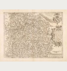
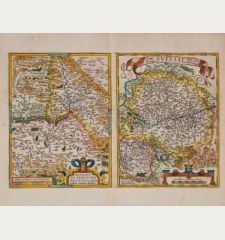
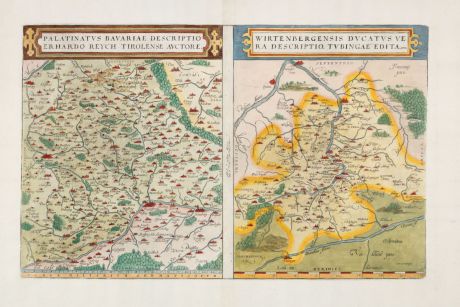
Palatinus Bavariae descriptio Erhardo Reych Tirolense Auctore / Wirtenbergensis Ducatus...
Abraham Ortelius (*1527 - †1598)Reference 12944
Description
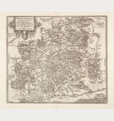
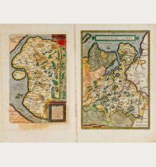
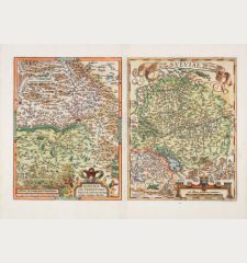
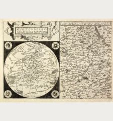
Antique map of Württemberg and the northern part of Bavaria by Abraham Ortelius. The two maps are printed from a copper plate and come from the first modern atlas, the famous Theatrum Orbis Terrarum by Ortelius, first published in 1570. Embellished with elaborate details and decorative elements.
On the left the map of Middle Franconia and the Upper Palatinate with Nuremberg, Ingolstadt, Bamberg, Regensburg, Straubing and Amberg. It is based on a map of the Bavarian Palatinate by Erhart Reich from 1540, which was originally published by Christoph Zell in Nuremberg. On the right the Württemberg map with the Neckar and Danube. With Heidelberg, Stuttgart, Heilbronn, Ulm, Tuttlingen and Esslingen. The cartography for this map was inspired by an anonymous broadsheet map published in Tübingen in 1559.Engraved by Franz Hogenberg. Title cartouche above the map depiction. From the early Latin edition of the Theatrum Orbis Terrarum from 1579. Latin text on verso.
Details
| Cartographer | Abraham Ortelius |
| Title | Palatinus Bavariae descriptio Erhardo Reych Tirolense Auctore / Wirtenbergensis Ducatus Vera Descriptio. Tubingae Edita, 1558 |
| Publisher, Year | Christoffel Plantin, Antwerp, 1579 |
| Plate Size | 31.3 x 49.6 cm (12.3 x 19.5 inches) |
| Sheet Size | 45.6 x 58.0 cm (18.0 x 22.8 inches) |
| Reference | Van den Broecke, M.: Ortelius Atlas Maps, No. 111/1579L(B)53; Van der Krogt, P.: Koeman's Atlantes Neerlandici, 2670:31A + 2620:31A. |
Condition
Cartographer
Images to Download
If you like to download the image of this map with a resolution of 1200 pixels, please follow the link below.
You can use this image for publication on your personal or commercial websites for free if you set a link to this website. If you need photographs with a higher resolution, please contact us.
Germany - Ortelius, Abraham - Palatinus Bavariae descriptio Erhardo...

![[Donau Strom von Sigmaringen bis Donauwörth] [Donau Strom von Sigmaringen bis Donauwörth]](https://www.vintage-maps.com/2606-home_default/anonymous-germany-baden-wuerttemberg-danube-1702.jpg)



![[De Boemia. / Tabula quarta & quinta Europae de nonnullis / Germaniae ...] [De Boemia. / Tabula quarta & quinta Europae de nonnullis / Germaniae ...]](https://www.vintage-maps.com/2304-home_default/fries-germany-1541.jpg)
