Product successfully added to your shopping cart
There are 0 items in your cart. There is 1 item in your cart.
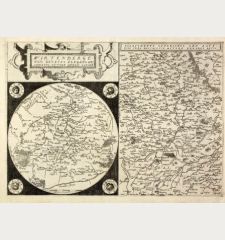
Basiliensis Territorii Descriptio Nova, Auctore Sebastiano Munstero / Circulus sive...
Abraham Ortelius (*1527 - †1598)Reference 12945
Description
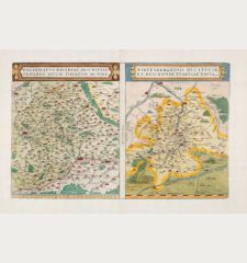
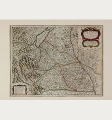
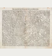
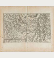
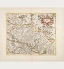
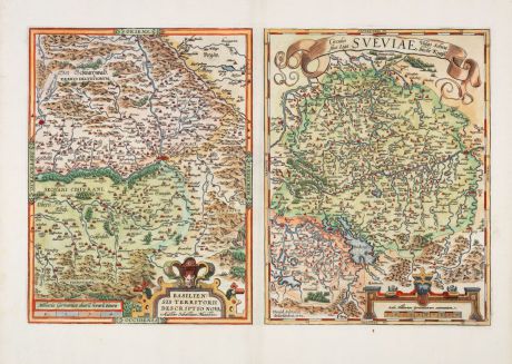
Antique map of the northern region of Switzerland and southern Germany by Abraham Ortelius. The two maps are printed from a copper plate and come from the first modern atlas, the famous Theatrum Orbis Terrarum by Ortelius, first published in 1570. Embellished with elaborate details and decorative elements.
Map of the Basel region:
The map on the left focuses on the region around Basel and is based on the earlier work of Sebastian Münster, in particular his map of the region from 1538. As a native of Basel, Sebastian Münster contributed valuable cartographic insights that make this map an authoritative depiction of the region. The towns are depicted picturesquely and the map is embellished with decorative elements such as cartouches and title banners. It is orientated to the east and shows the course of the Rhine from Waldshut via Basel to Breisach. With the south-eastern part of the Black Forest, Freiburg, Rheinfelden, Mulhouse, Bad Säckingen and Hartheim.
Map of the Lake Constance and Danube region:
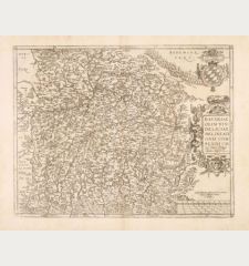
This map is centred on the Danube and covers the area bounded by Lake Constance, the Rhine, Augsburg and the Odenwald and extending as far as Strasbourg and north-eastern Switzerland to Zurich. Lake Constance is prominently depicted. It is based on David Seltzin's map of Swabia from 1572, with Constance, Buchhorn (Friedrichshafen), Bregenz, St. Gallen, Freiburg, Ravensburg, Aulendorf, Bad Waldsee, Biberach, Ulm, Geislingen, Pforzheim, Stuttgart, Heilbronn and Mosbach. The map is a valuable representation of southern Germany at the time. Like the Basel map, this one is also skilfully embellished with decorative details, which adds to its visual appeal.
Both maps offer historical insights into the geographical knowledge and cartography of these regions at the time of their creation and provide a glimpse into the past through the lens of Ortelius' craftsmanship. From the early Latin edition of the Theatrum Orbis Terrarum from 1595. Latin text on verso.
Details
| Cartographer | Abraham Ortelius |
| Title | Basiliensis Territorii Descriptio Nova, Auctore Sebastiano Munstero / Circulus sive Liga Sueviae, vulgo Schwabische Kraiss |
| Publisher, Year | Plantin Press, Antwerp, 1595 |
| Plate Size | 32.0 x 50.0 cm (12.6 x 19.7 inches) |
| Sheet Size | 46.0 x 56.0 cm (18.1 x 22.0 inches) |
| Reference | Van den Broecke, M.: Ortelius Atlas Maps, No. 114/1595L68 |
Condition
Cartographer
Images to Download
If you like to download the image of this map with a resolution of 1200 pixels, please follow the link below.
You can use this image for publication on your personal or commercial websites for free if you set a link to this website. If you need photographs with a higher resolution, please contact us.
Baden-Württemberg - Ortelius, Abraham - Basiliensis Territorii Descriptio Nova,...

![[Donau Strom von Sigmaringen bis Donauwörth] [Donau Strom von Sigmaringen bis Donauwörth]](https://www.vintage-maps.com/2606-home_default/anonymous-germany-baden-wuerttemberg-danube-1702.jpg)
