Product successfully added to your shopping cart
There are 0 items in your cart. There is 1 item in your cart.
Total products
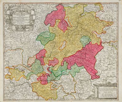
S.R.I. Circulus Rhenanus Superior
Johann Baptist Homann (*1664 - †1724)Old coloured map of Hesse. Printed in Nuremberg by J. B. Homann circa 1720.
Reference 11794
Description
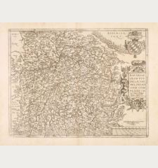
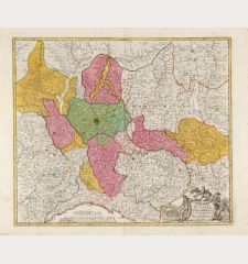
Very detailed, old-coloured engraved map of Hesse. Shows the area between the Rhine with Mainz to the lower left up to Mühlhausen in the northeast. With a beautiful title cartouche at the top left surrounded by 21 coats of arms, including Kassel, Frankfurt, Wetzlar, Hanau, Wiesbaden, Fulda and Waldeck.
Details
| Cartographer | Johann Baptist Homann |
| Title | S.R.I. Circulus Rhenanus Superior |
| Publisher, Year | J. B. Homann, Nuremberg, circa 1720 |
| Plate Size | 49.5 x 58.2 cm (19.5 x 22.9 inches) |
| Sheet Size | 53.0 x 62.6 cm (20.9 x 24.6 inches) |
Condition
Very good condition.
Cartographer
Johann Baptist Homann was born 1664 in Oberkammlach. He founded his business 1702 in Nuremberg, Germany. After a long period of Dutch domination in map publishing, the Homann publishing house became the most important map and atlas producer in Germany. He became a member of the Academy of Science in Berlin just after he published his first atlas in 1707. After his death 1724 in Nuremberg, the company was continued by his son Johann Christoph. The publishing firm was bequeathed to his heirs after his death in 1730 and was traded under the name Homann Heirs until the next century.
Images to Download
If you like to download the image of this map with a resolution of 1200 pixels, please follow the link below.
You can use this image for publication on your personal or commercial websites for free if you set a link to this website. If you need photographs with a higher resolution, please contact us.
Johann Baptist Homann: S.R.I. Circulus Rhenanus Superior.
Old coloured map of Hesse. Printed in Nuremberg by J. B. Homann circa 1720.
Germany - Homann, Johann Baptist - S.R.I. Circulus Rhenanus Superior

![[Donau Strom von Sigmaringen bis Donauwörth] [Donau Strom von Sigmaringen bis Donauwörth]](https://www.vintage-maps.com/2606-home_default/anonymous-germany-baden-wuerttemberg-danube-1702.jpg)



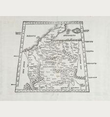
![[De Boemia. / Tabula quarta & quinta Europae de nonnullis / Germaniae ...] [De Boemia. / Tabula quarta & quinta Europae de nonnullis / Germaniae ...]](https://www.vintage-maps.com/2304-home_default/fries-germany-1541.jpg)
