Product successfully added to your shopping cart
There are 0 items in your cart. There is 1 item in your cart.
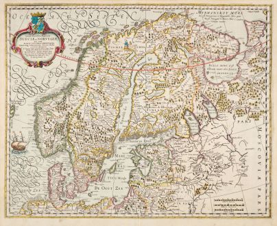
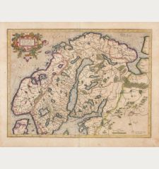
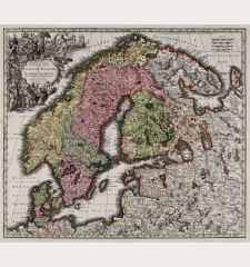
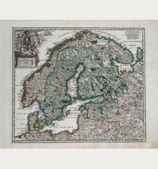
Tabula Exactissima Regnorum Sueciae et Norvegiae, nec non Maris Universi Orientalis...
Jodocus Hondius (*1563 - †1612)Reference 12883
Description
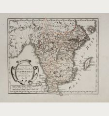
Scarce map of Scandinavia and the Baltic region by J. Hondius. It was only included in a few early editions of the Mercator-Hondius Atlas and is quite rare. After Anders Bure's large map of Scandinavia.
Anders Bure, a significant figure in Scandinavian cartography, created a six-sheet map of Sweden in 1626. Bure, with a background in mathematics and as the Secretary to Gustav II Adolf, the King of Sweden, played a crucial role in mapping the kingdom's topography. His work, titled Orbis Arctoi Nova et Accurata Delineatio, served as a foundation for Dutch mapmakers like Jodocus Hondius, Willem Janszoon Blaeu, and Nicholas Visscher when crafting their own maps of northern Europe.
From the French edition of the Mercator-Hondius Atlas of 1633. French text on verso.
Details
| Cartographer | Jodocus Hondius |
| Title | Tabula Exactissima Regnorum Sueciae et Norvegiae, nec non Maris Universi Orientalis... |
| Publisher, Year | J. Hondius, Amsterdam, 1633 |
| Plate Size | 44.1 x 54.5 cm (17.4 x 21.5 inches) |
| Sheet Size | 47.7 x 57.3 cm (18.8 x 22.6 inches) |
| Reference | Van der Krogt, P.: Koeman's Atlantes Neerlandici, 1210:1B.2. |
Condition
Cartographer
Images to Download
If you like to download the image of this map with a resolution of 1200 pixels, please follow the link below.
You can use this image for publication on your personal or commercial websites for free if you set a link to this website. If you need photographs with a higher resolution, please contact us.
Scandinavia - Hondius, Jodocus - Tabula Exactissima Regnorum Sueciae et...

