Product successfully added to your shopping cart
There are 0 items in your cart. There is 1 item in your cart.
Total products
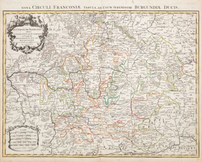
Le Cercle de Franconie ...
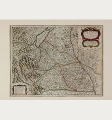
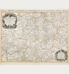
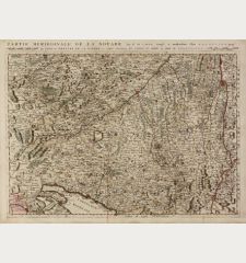
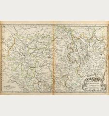
Nicolas Sanson (*1600 - †1667)Old coloured map of Bavaria, Germany. Printed in Paris by H. Jaillot circa 1680.
Reference 12520
Description
Antique map of Franconia after N. Sanson by H. Jaillot. Shows the area between Mainz, Donauwörth, Plauen and Fulda. With Frankfurt, Nuremberg, Regensburg, Mannheim, Hof, Gießen and Würzburg in the centre. To the top left a title cartouche.
Details
| Cartographer | Nicolas Sanson |
| Title | Le Cercle de Franconie ... |
| Publisher, Year | H. Jaillot, Paris, circa 1680 |
| Plate Size | 47.2 x 60.7 cm (18.6 x 23.9 inches) |
| Sheet Size | 53.0 x 63.0 cm (20.9 x 24.8 inches) |
Condition
Slightly stained in margins, centrefold backed at lower margin. Very good condition with old outline colour. Never framed before.
Cartographer
Nicolas Sanson, born 1600 in Abbeville, was a French historian and cartographer. Louis XIII appointed him Géographe Ordinaire du Roi. His main work, the Atlas Cartes Générales de Toutes les Parties du Monde, was issued first in 1654 until 1676. After his death in 1667, the business was continued by his sons Guillaume and Adrien in partnership with A. H. Jaillot.
Images to Download
If you like to download the image of this map with a resolution of 1200 pixels, please follow the link below.
You can use this image for publication on your personal or commercial websites for free if you set a link to this website. If you need photographs with a higher resolution, please contact us.
Nicolas Sanson: Le Cercle de Franconie ....
Old coloured map of Bavaria, Germany. Printed in Paris by H. Jaillot circa 1680.

![[Donau Strom von Sigmaringen bis Donauwörth] [Donau Strom von Sigmaringen bis Donauwörth]](https://www.vintage-maps.com/2606-home_default/anonymous-germany-baden-wuerttemberg-danube-1702.jpg)
