Product successfully added to your shopping cart
There are 0 items in your cart. There is 1 item in your cart.
Total products
The item displayed below has already been sold, but we have another similar one available:
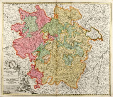
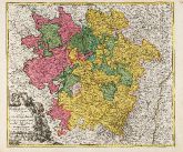
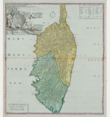
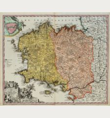
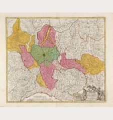
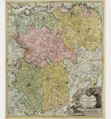
Lotharingiae Tabula Generalis in qua Ducatus Lotharingiae et Barri nec non Metensis,...
Johann Baptist Homann (*1664 - †1724)Old coloured map of the Lorraine. Printed in Nuremberg by J.B. Homann in 1712.
Reference 10493
Description
Original old copper engraved map of Lorraine in north-east France by J. B. Homann. Covering the area around Metz, Nancy and Sarrebruck with Luxembourg in the North and Mulhouse in Southeast. With a decorative figurative and allegoric cartouche. Dated 1712 in the plate.
Details
| Cartographer | Johann Baptist Homann |
| Title | Lotharingiae Tabula Generalis in qua Ducatus Lotharingiae et Barri nec non Metensis, Tullensis et Verdunensis Episcopatus |
| Publisher, Year | J.B. Homann, Nuremberg, 1712 |
| Plate Size | 48.7 x 57.3 cm (19.2 x 22.6 inches) |
| Sheet Size | 51.5 x 61.0 cm (20.3 x 24.0 inches) |
Condition
Small tear in margin backed.
Cartographer
Johann Baptist Homann was born 1664 in Oberkammlach. He founded his business 1702 in Nuremberg, Germany. After a long period of Dutch domination in map publishing, the Homann publishing house became the most important map and atlas producer in Germany. He became a member of the Academy of Science in Berlin just after he published his first atlas in 1707. After his death 1724 in Nuremberg, the company was continued by his son Johann Christoph. The publishing firm was bequeathed to his heirs after his death in 1730 and was traded under the name Homann Heirs until the next century.
Images to Download
If you like to download the image of this map with a resolution of 1200 pixels, please follow the link below.
You can use this image for publication on your personal or commercial websites for free if you set a link to this website. If you need photographs with a higher resolution, please contact us.
Johann Baptist Homann: Lotharingiae Tabula Generalis in qua Ducatus Lotharingiae et Barri nec non Metensis, Tullensis et Verdunensis Episcopatus.
Old coloured map of the Lorraine. Printed in Nuremberg by J.B. Homann in 1712.
France - Homann, Johann Baptist - Lotharingiae Tabula Generalis in qua...

