Product successfully added to your shopping cart
There are 0 items in your cart. There is 1 item in your cart.
Total products
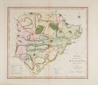
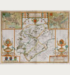
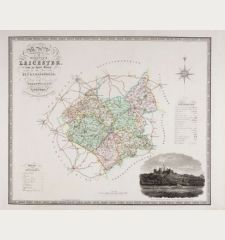
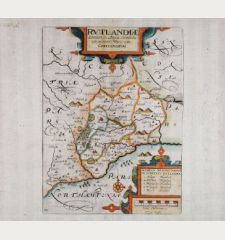
A New Map of the County of Rutland divided into Hundreds
Charles Smith (*1768 - †1854)Old coloured map of Rutland, England. Printed in London in the year 1808.
Reference 12046
Description
Antique map of Rutland by Charles Smith from 1808. First published in 1804. Showing the county with important streets and cities. With a compass rose.
Details
| Cartographer | Charles Smith |
| Title | A New Map of the County of Rutland divided into Hundreds |
| Publisher, Year | London, 1808 |
| Plate Size | 43.7 x 49.2 cm (17.2 x 19.4 inches) |
| Sheet Size | 54.3 x 62.0 cm (21.4 x 24.4 inches) |
Condition
Very good condition.
Cartographer
Charles Smith was an English publisher, printer and engraver at the beginning of the 19th century. He was active in London and mainly dealt in country maps of England. After his death, his son William continued the business.
Images to Download
If you like to download the image of this map with a resolution of 1200 pixels, please follow the link below.
You can use this image for publication on your personal or commercial websites for free if you set a link to this website. If you need photographs with a higher resolution, please contact us.
Charles Smith: A New Map of the County of Rutland divided into Hundreds.
Old coloured map of Rutland, England. Printed in London in the year 1808.
British Isles - Smith, Charles - A New Map of the County of Rutland divided...


![[British Isles and England & Wales] [British Isles and England & Wales]](https://www.vintage-maps.com/2941-home_default/bordone-british-isles-england-and-wales-1528-1565.jpg)

![[Von den Britannischen Inseln...] [Von den Britannischen Inseln...]](https://www.vintage-maps.com/1653-home_default/muenster-british-isles-england-scotland-ireland-1574.jpg)
