Product successfully added to your shopping cart
There are 0 items in your cart. There is 1 item in your cart.
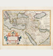
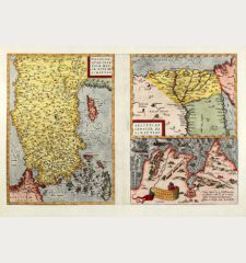
Natoliam Moderni / Turcia Turci Cive Imperii
Gerard de Jode (*1509 - †1591)Reference 12556
Description
From The Rare First Atlas Edition.
Rare first edition of the antique map of the Ottoman Empire by Gerard de Jode. Shows the eastern Mediterranean, the southeast of Europe, Asia Minor with Cyprus, the Middle East with the Holy Land, the northeast of Africa and the Black Sea. Noah's Ark is shown on Mount Ararat. With two title cartouches and three sailing ships in the Mediterranean.
From the rare first edition of Gerard de Jode's atlas Speculum Orbis Terrarum, published in 1578. Identifiable by the pagination 'X' and the signature 'k' on verso. The plate is signed and engraved by the Dutch master engraver J. van Deutecum.
Details
| Cartographer | Gerard de Jode |
| Title | Natoliam Moderni / Turcia Turci Cive Imperii |
| Publisher, Year | G. de Jode, Antwerp, 1578 |
| Plate Size | 38.5 x 51.1 cm (15.2 x 20.1 inches) |
| Sheet Size | 40.4 x 54.6 cm (15.9 x 21.5 inches) |
| Reference | Van der Krogt, P.: Koeman's Atlantes Neerlandici, 8100:32, 1st state; Zacharakis, C.G.: A Catalogue of Printed Maps of Greece, 1477-1800, No. 1763/1164 |
Condition
Cartographer
Images to Download
If you like to download the image of this map with a resolution of 1200 pixels, please follow the link below.
You can use this image for publication on your personal or commercial websites for free if you set a link to this website. If you need photographs with a higher resolution, please contact us.
Turkey - Jode, Gerard de - Natoliam Moderni / Turcia Turci Cive Imperii


![Verus Chersonesi Tauricae Seu Crimea Conspectus ... [and] Theatrum Belli Ao MDCCXXXVII ... [and] Explicatio Duarum Tabularum... Verus Chersonesi Tauricae Seu Crimea Conspectus ... [and] Theatrum Belli Ao MDCCXXXVII ... [and] Explicatio Duarum Tabularum...](https://www.vintage-maps.com/2205-home_default/du-chaffat-ukraine-russo-turkish-war-crimea-1740.jpg)

![[Euboea, Negroponte, Bosporus, Istanbul] [Euboea, Negroponte, Bosporus, Istanbul]](https://www.vintage-maps.com/2937-home_default/bordone-greece-negroponte-euboea-1528-1565.jpg)
![[Asia Minor] [Asia Minor]](https://www.vintage-maps.com/3717-home_default/muenster-turkey-asia-minor-1550.jpg)
