Product successfully added to your shopping cart
There are 0 items in your cart. There is 1 item in your cart.
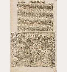
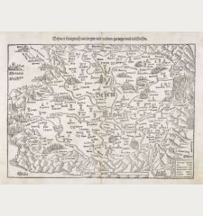
Die erst Tafel, innhaltend das Schweytzerlandt, mit den anstossenden Ländern / Die...
Sebastian Münster (*1489 - †1552)Reference 11589
Description
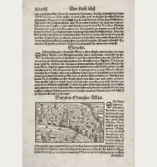
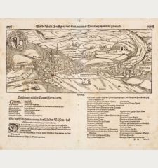
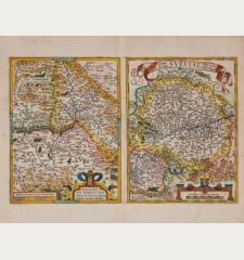
Monumental map of the course of the Rhine river. The three-sheet woodcut map showing the Rhine from the headwaters in Switzerland to its mouth in the North Sea. The map on three leaves was first published in the Cosmographia by Sebstian Münster 1588 in Basel. This is the second version of Münster's monumental maps of the river Rhine.
The 3 hand coloured sheets are not joined, the first picture displayed is a computer assembly to show the fit of the leaves. The total size of the map if joined would be 30,7 x 104 cm.
Details
| Cartographer | Sebastian Münster |
| Title | Die erst Tafel, innhaltend das Schweytzerlandt, mit den anstossenden Ländern / Die ander Tafel des Rheinstroms, begreiffend die Pfaltz, Westereich, Eyfel ec. / Die dritte Tafel des Rheinstroms, innhaltend das Nider Teutschlandt. |
| Publisher, Year | Sebastian Henric Petri, Basle, 1588 |
| Plate Size | 30.7 x 35.7 cm (12.1 x 14.1 inches) |
| Sheet Size | 33.5 x 40.5 cm (13.2 x 15.9 inches) |
| Reference | Stopp, K.: Die monumentalen Rheinlaufkarten aus der Blütezeit der Kartographie |
Condition
Cartographer
Images to Download
If you like to download the image of this map with a resolution of 1200 pixels, please follow the link below.
You can use this image for publication on your personal or commercial websites for free if you set a link to this website. If you need photographs with a higher resolution, please contact us.
Germany - Münster, Sebastian - Die erst Tafel, innhaltend das...


![[Donau Strom von Sigmaringen bis Donauwörth] [Donau Strom von Sigmaringen bis Donauwörth]](https://www.vintage-maps.com/2606-home_default/anonymous-germany-baden-wuerttemberg-danube-1702.jpg)



![[De Boemia. / Tabula quarta & quinta Europae de nonnullis / Germaniae ...] [De Boemia. / Tabula quarta & quinta Europae de nonnullis / Germaniae ...]](https://www.vintage-maps.com/2304-home_default/fries-germany-1541.jpg)


![Aldenburg [Aldenbvrg] Aldenburg [Aldenbvrg]](https://www.vintage-maps.com/2177-home_default/muenster-germany-lower-saxony-stade-1574.jpg)
