Product successfully added to your shopping cart
There are 0 items in your cart. There is 1 item in your cart.
Total products
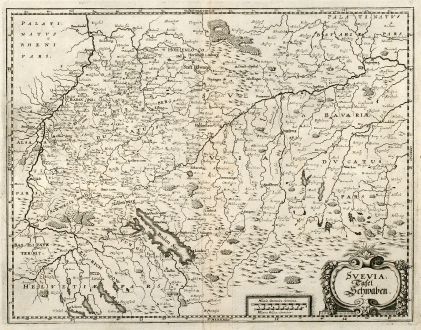
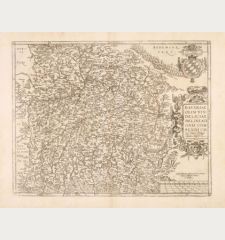
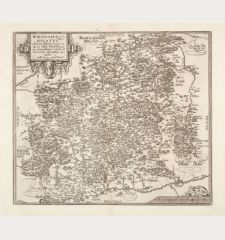
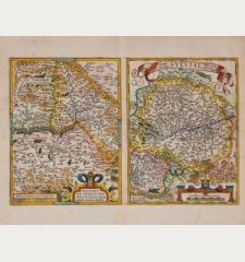
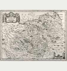
Svevia. Tafel Schwaben.
Matthäus Merian (*1593 - †1650)Antique map of Swabia, Baden-Wurttemberg. Printed in Frankfurt by M. Merian in 1643.
Reference 10631
Description
Nice copper engraved map of Suabia from M. Merian. Showing the are between the Black Forest, Zurich, Freising and Heilbronn, with the Lake Constance. From the 1643 edition of "Topographia Sveviae" by Matthaeus Merian printed and published in Frankfurt.
Details
| Cartographer | Matthäus Merian |
| Title | Svevia. Tafel Schwaben. |
| Publisher, Year | M. Merian, Frankfurt, 1643 |
| Plate Size | 27.7 x 36.2 cm (10.9 x 14.3 inches) |
| Sheet Size | 32.1 x 37.3 cm (12.6 x 14.7 inches) |
Condition
Minor printer's crease right to centrefold, fine conditions.
Cartographer
Matthäus Merian the Elder was born September 22nd, 1593 in Basel. He studied drawing and copper engraving from the engraver Friedrich Meyer in Zurich. 1619 he went to Frankfurt where he worked for the publisher Johann Theodor de Bry, whose daughter he married. He took over and completed the editions of Grand Voyages and Petit Voyages which de Bry started in 1590. Together with Martin Zeiller he produced the popular series of Topographia with total 21 volumes. The work was continued by his sons Matthäus the Younger and Caspar. Merian died June 19th, 1650 in Bad Schwalbach.
Images to Download
If you like to download the image of this map with a resolution of 1200 pixels, please follow the link below.
You can use this image for publication on your personal or commercial websites for free if you set a link to this website. If you need photographs with a higher resolution, please contact us.
Matthäus Merian: Svevia. Tafel Schwaben..
Antique map of Swabia, Baden-Wurttemberg. Printed in Frankfurt by M. Merian in 1643.

![[Donau Strom von Sigmaringen bis Donauwörth] [Donau Strom von Sigmaringen bis Donauwörth]](https://www.vintage-maps.com/2606-home_default/anonymous-germany-baden-wuerttemberg-danube-1702.jpg)



![[De Boemia. / Tabula quarta & quinta Europae de nonnullis / Germaniae ...] [De Boemia. / Tabula quarta & quinta Europae de nonnullis / Germaniae ...]](https://www.vintage-maps.com/2304-home_default/fries-germany-1541.jpg)
