Product successfully added to your shopping cart
There are 0 items in your cart. There is 1 item in your cart.
Prussia
Gerard Mercator (*1512 - †1594)Reference 12799
Description
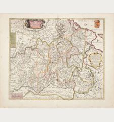
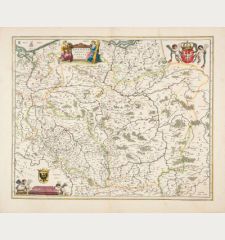
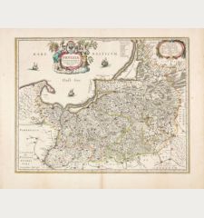
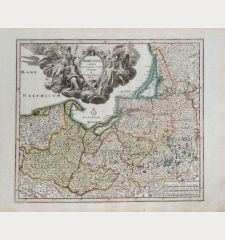
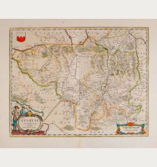
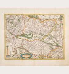
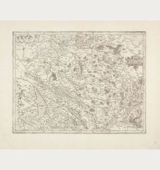
Early map of Prussia by G. Mercator. Showing the northern part of Poland with Puck (Putzig ), Gdańsk (Danzig) and Elblag (Elbing), the Russian area around Kalingrad (Königsberg ) and the southern part of Lithuania with Klaipeda (Memel) and Palanga (Polangen). From the Mercator-Hondius atlas of 1633, French text on verso. With an elaborate title cartouche decorated with floral garlands.
The history of Prussia
Prussia, whose name has roots in the Old Prussians, saw significant historical developments. In the 13th century, the Teutonic Knights, an organized Catholic medieval military order of German crusaders, conquered lands inhabited by the Old Prussians. It emerged as a prominent German state in 1525, initially as a duchy centered in the region of Prussia on the southeast coast of the Baltic Sea. However, its existence was effectively dissolved in 1932 when emergency powers of the Prussian government were transferred to German Chancellor Franz von Papen and officially by an Allied decree in 1947.
For many centuries, the House of Hohenzollern ruled over Prussia, effectively expanding its territorial holdings through a well-organized and powerful military. With its capital initially in Königsberg and later, from 1701, in Berlin, Prussia played a decisive role in shaping the history of Germany. One significant episode in its history was the Thirteen Years' War (1454-1466), which began when the Prussian Confederation, a coalition of Hanseatic cities in western Prussia, rebelled against the Teutonic Order and sought assistance from the Polish king, Casimir IV Jagiellon. The Teutonic Knights were ultimately compelled to recognize the sovereignty of and pay tribute to Casimir IV in the Second Peace of Thorn (1466), resulting in the loss of western Prussia (Royal Prussia) to Poland.
Following the Second Peace of Thorn, two distinct Prussian states were established. In 1701, Frederick William's son, Elector Frederick III, elevated Prussia from a duchy to a kingdom, and he crowned himself as King Frederick I. However, according to the Crown Treaty of 16 November 1700, Emperor Leopold I of the Holy Roman Empire allowed Frederick to title himself only as "King in Prussia," not "King of Prussia." It's important to note that the Prussian state extended beyond the region of Prussia proper, encompassing territories in Brandenburg, Pomerania, and western Germany.
The Prussian state experienced a period of cultural flourishing under the reign of King Frederick I, who patronized the arts despite the financial burden it placed on the treasury. King Frederick William II (1786-1797) oversaw the annexation of additional Polish territory through the Partitions of Poland. His successor, Frederick William III (1797-1840), made the significant announcement of the union of the Prussian Lutheran and Reformed churches into a single church.
Details
| Cartographer | Gerard Mercator |
| Title | Prussia |
| Publisher, Year | H. Hondius, Amsterdam, 1633 |
| Plate Size | 36.7 x 48.6 cm (14.4 x 19.1 inches) |
| Sheet Size | 48.0 x 56.8 cm (18.9 x 22.4 inches) |
| Reference | Van der Krogt, P.: Koeman's Atlantes Neerlandici, 1720:1A |
Condition
Cartographer
Images to Download
If you like to download the image of this map with a resolution of 1200 pixels, please follow the link below.
You can use this image for publication on your personal or commercial websites for free if you set a link to this website. If you need photographs with a higher resolution, please contact us.


