Product successfully added to your shopping cart
There are 0 items in your cart. There is 1 item in your cart.
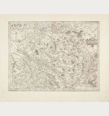
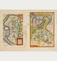
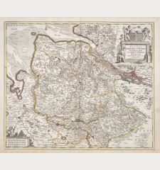
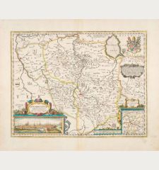
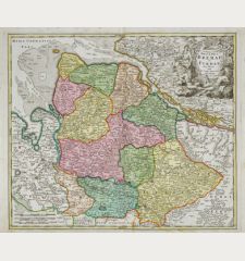
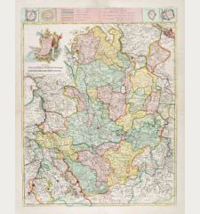
Westfalia cum Dioecesi Bremensi [2 Karten]
Gerard Mercator (*1512 - †1594)Reference 12820
Description
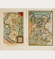
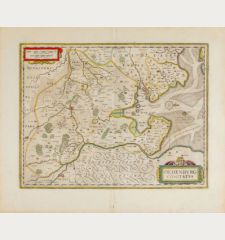
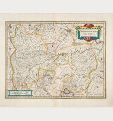
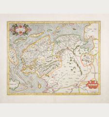
Large, two-part map of Lower Saxony and North Rhine-Westphalia by G. Mercator on two sheets. The northern map shows East Frisia, Oldenburg and Bremen with the North Sea coast between Emden and the Elbe. In the northeast Borkum, furthermore the East Frisian islands Spiekeroog and Wangerooge are marked. The second map in the south shows Westphalia with Detmold, Münster, Osnabrück, up to Wesel in the southeast and Kassel in the southwest. The two sheets are not joined together.
Decorated with a large title cartouche at upper left. From the French edition of the Atlas Novus, printed in 1633.
Details
| Cartographer | Gerard Mercator |
| Title | Westfalia cum Dioecesi Bremensi [2 Karten] |
| Publisher, Year | Henricus Hondius, Amsterdam, 1633 |
| Plate Size | 35.7 x 45.8 cm (14.1 x 18.0 inches) |
| Sheet Size | 48.0 x 56.8 cm (18.9 x 22.4 inches) |
| Reference | Van der Krogt, P.: Koeman's Atlantes Neerlandici, 2301:1.2 + 2302:1.2 |
Condition
Cartographer
Images to Download
If you like to download the image of this map with a resolution of 1200 pixels, please follow the link below.
You can use this image for publication on your personal or commercial websites for free if you set a link to this website. If you need photographs with a higher resolution, please contact us.
Lower Saxony - Mercator, Gerard - Westfalia cum Dioecesi Bremensi [2 Karten]

![Gerard Mercator: Westfalia cum Dioecesi Bremensi [2 Karten] Antique Maps, Mercator, Germany, Lower Saxony, 1633: Westfalia cum Dioecesi Bremensi [2 Karten]](https://www.vintage-maps.com/4256-large_default/mercator-germany-lower-saxony-1633.jpg)



![Lubeca, Lvbeck [Lübeck], Luneburgum, Lüneburg Lubeca, Lvbeck [Lübeck], Luneburgum, Lüneburg](https://www.vintage-maps.com/3153-home_default/saur-germany-schleswig-holstein-luebeck-lueneburg-1595.jpg)
![Bravnsweich [Braunsweich], Rostochium [Rostock] Bravnsweich [Braunsweich], Rostochium [Rostock]](https://www.vintage-maps.com/3155-home_default/saur-germany-lower-saxony-braunschweig-rostock-1595.jpg)
![Aldenburg [Aldenbvrg] Aldenburg [Aldenbvrg]](https://www.vintage-maps.com/2177-home_default/muenster-germany-lower-saxony-stade-1574.jpg)
