Product successfully added to your shopping cart
There are 0 items in your cart. There is 1 item in your cart.
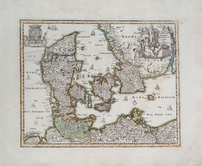
Dania Jutia, Holsatia, Scandia
Christoph Weigel (*1654 - †1725)Reference 11945
Description
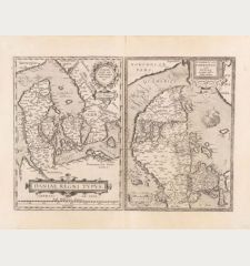
Old coloured antique map of Denmark by Christoph Weigel. With the southern part of Sweden, the Mecklenburg Baltic Sea coast with Rügen and Schleswig-Holstein. Decorated with a title cartouche, the Danish coat of arms and many sailing ships in the North Sea and Baltic Sea. From Bequemer Schul- und Reisen-Atlas also titled Atlas scholasticus et itinerarius by Christoph Weigel. First published in Nuremberg in 1718. Weigel's well-known travel atlas, which he published in collaboration with Professor Johann David Köhler.
Details
| Cartographer | Christoph Weigel |
| Title | Dania Jutia, Holsatia, Scandia |
| Publisher, Year | Johann Ernst Adelbulner, Nuremberg, 1718 |
| Plate Size | 27.7 x 34.7 cm (10.9 x 13.7 inches) |
| Sheet Size | 36.3 x 45.2 cm (14.3 x 17.8 inches) |
Condition
Cartographer
Images to Download
If you like to download the image of this map with a resolution of 1200 pixels, please follow the link below.
You can use this image for publication on your personal or commercial websites for free if you set a link to this website. If you need photographs with a higher resolution, please contact us.
Denmark - Weigel, Christoph - Dania Jutia, Holsatia, Scandia

