Product successfully added to your shopping cart
There are 0 items in your cart. There is 1 item in your cart.
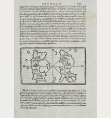
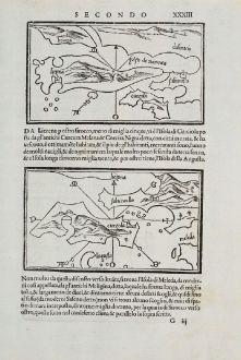
Liezena, Curzola, S. ma de Tremidi
Benedetto Bordone (*1460 - †1539)Reference 12236
Description
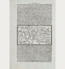
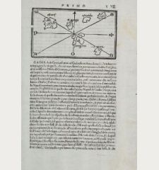
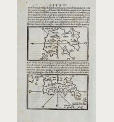
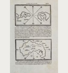
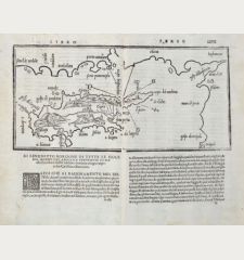
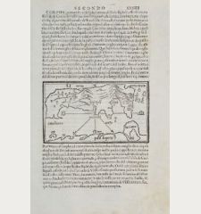
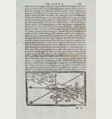
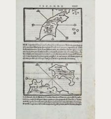
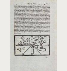
Rare maps of the islands Hvar (Liezena), Korčula and San Nicola in the Adriatic Sea by Benedetto Bordone on one sheet. Showing the Croatian islands of Hvar with the island of Brač and Korčula with the peninsula Pelješac. On verso the map of San Nicola as part of the Tremiti Islands in the Adriatic Sea.
From Libro di Benedetto Bordone... de tutte l'isole del mondo..., more commonly known as Isolario of Bordone, which first appeared in Venice in 1528. Three further editions followed in 1534, 1547 and 1565. The maps of all four editions were printed from the same woodblocks in Venice.
Details
| Cartographer | Benedetto Bordone |
| Title | Liezena, Curzola, S. ma de Tremidi |
| Publisher, Year | Venice, 1528-1565 |
| Plate Size | 8.4 x 14.5 cm (3.3 x 5.7 inches) |
| Sheet Size | 30.0 x 20.7 cm (11.8 x 8.1 inches) |
Condition
Cartographer
Images to Download
If you like to download the image of this map with a resolution of 1200 pixels, please follow the link below.
You can use this image for publication on your personal or commercial websites for free if you set a link to this website. If you need photographs with a higher resolution, please contact us.
Balkan - Bordone, Benedetto - Liezena, Curzola, S. ma de Tremidi

![[Losinj, Cres, Ossero, Trogir, Svetac, Brac, Ciovo] [Losinj, Cres, Ossero, Trogir, Svetac, Brac, Ciovo]](https://www.vintage-maps.com/2951-home_default/bordone-balkan-croatia-dalmatia-losinj-cres-ossero-krk.jpg)
