Product successfully added to your shopping cart
There are 0 items in your cart. There is 1 item in your cart.
Ausszug auss des Abrahami Ortelij Theatro Orbis teutsch beschriben durch Levinum...
Abraham Ortelius (*1527 - †1598)Reference 12590
Description
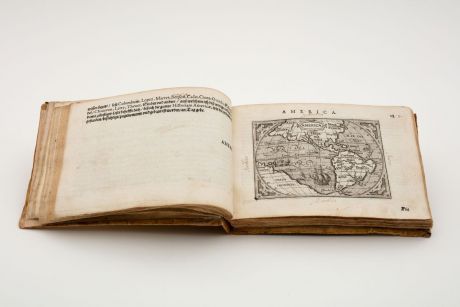
Very Rare and Only German Edition of the Pocket Atlas by Ortelius. With 128 Maps.
Complete and well preserved example of the rare German edition of Ortelius's Epitome. Edited by Levinus Hulsius (Lieven Hulst) and printed together with Jan van Keerbergen 1604 in Frankfurt. The only published edition of Ortelius's pocket atlas with German text. In the last 20 years, only two copies have been offered in trade and at auction, one of them incomplete.
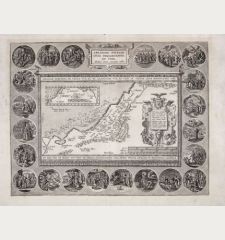
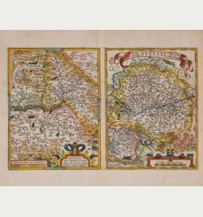
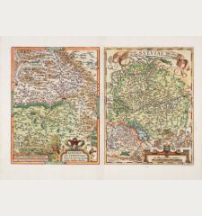
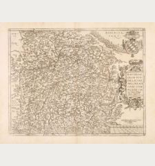
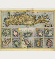
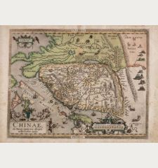
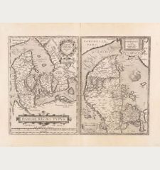
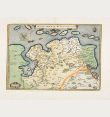
With engraved title page, on verso the coat of arms of Joachim Ernst of Brandenburg-Ansbach, Margrave of the Franconian Principality of Ansbach. Followed by 5 pages of dedication and a 37-page instruction and explanation with 2 engravings in the text. The instructions include a double-page folded map of the world by Hulsius (Shirley 210) surrounded by medallions of the navigators Vespucci, Columbus, Drake, Cavendish, Magellan and Del Cano. The track of Magellan's circumnavigation is marked. The actual map section consists of 127 full-page engraved maps mostly by Jan van Keerbergen and Michael Coignet after Ortelius first published 1602 in Antwerp. Beside the large world map Hulsius has added 4 additional maps from his own publications: No. 7 (Die Insul Madagascar), 20 (Die Insel Iava Maior), 77 (Lappenland) und 78 (Das alte Land Noua Zembla). Each maps with descriptive text. At the end 4 pages of index.
On the endpapers and title several old handwritten ownership inscriptions. In the margins partly marginalia in tiny writing. Several maps with annotations by an old hand.
This rare German edition exists in a few public collections and libraries only. We could locate examples of this German edition held in the following institutions, among them several are incomplete: Bayerische Staatsbibliothek, Heidelberg University Library, Library of the Germanisches Nationalmuseum, Württembergische Landesbibliothek, Lucerne Central and University Library, Newberry Library Chicago, Bibliothèque Nationale de France and Stockholm University Library.
All maps of this atlas can be seen in high resolution at our Atlas Gallery website: 1604 Ortelius/Hulsius Atlas
Details
| Cartographer | Abraham Ortelius |
| Title | Ausszug auss des Abrahami Ortelij Theatro Orbis teutsch beschriben durch Levinum Hulsium, Francfort am Main. M.DC.IIII |
| Publisher, Year | Levinus Hulsius, Jan van Keerbergen, Frankfurt, 1604 |
| Size | 13.5 x 18.5 cm (5.3 x 7.3 inches), 8vo |
| Collation | 1 leaf, 44 pages, 135 leaves |
| Illustrations | 1 engraved copper title, 1 full page copper engraving, 1 double page folded map, 127 full page copper engraved maps, 2 copper engraving in text |
| Cover | Vellum binding |
| Reference | Phillips, P.L.: A List of Geographical Atlases in the Library of Congress, No. 420; Van der Krogt, P.: Koeman's Atlantes Neerlandici, 333:41; Shirley, R. W.: The Mapping of the World, No. 210 |
Condition
Contemporary flexible vellum binding with handwritten title on the spine. The vellum somewhat shrunken, causing the front cover to protrude somewhat. Upper and lower joints and the corners partly restored.
Several old handwritten ownership inscriptions on endpapers and title. Endpapers with large ink stain, reattached. Several marginalia in tiny script. Several maps with annotations by an old hand. Some foxing and ink stains. A very good and complete copy.
Cartographer
Images to Download
If you like to download the image of this map with a resolution of 1200 pixels, please follow the link below.
You can use this image for publication on your personal or commercial websites for free if you set a link to this website. If you need photographs with a higher resolution, please contact us.
Atlases - Ortelius, Abraham - Ausszug auss des Abrahami Ortelij Theatro...

![Ch'onha Chido [Atlas of all under Heaven] Ch'onha Chido [Atlas of all under Heaven]](https://www.vintage-maps.com/3336-home_default/anonymous-korean-manuscript-atlas-chonha-chido-1820.jpg)
![Ch'onha Chido [Atlas of all under Heaven] Ch'onha Chido [Atlas of all under Heaven]](https://www.vintage-maps.com/4291-home_default/anonymous-korean-manuscript-atlas-chonha-chido-1800.jpg)
![Ch'onha chido [Atlas of all under Heaven] Ch'onha chido [Atlas of all under Heaven]](https://www.vintage-maps.com/3314-home_default/anonymous-korean-woodblock-atlas-chonha-chido-1750.jpg)
