Product successfully added to your shopping cart
There are 0 items in your cart. There is 1 item in your cart.
Total products

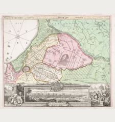
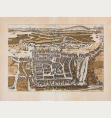
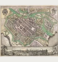
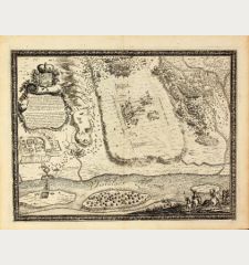
Delineatio Geometrica Arcis et Ciuitatis Marienbvrgensis in Borussia
Samuel Baron von Pufendorf (*1632 - †1694)Coloured map of Malbork. Printed in the year 1696.
Reference 10073
Description
A plan of the town and fortress of Marienburg close to Danzig at Nogat river. Copper engraving from F. de Lapointe from a Pufendorf edition.
Details
| Cartographer | Samuel Baron von Pufendorf |
| Title | Delineatio Geometrica Arcis et Ciuitatis Marienbvrgensis in Borussia |
| Publisher, Year | 1696 |
| Plate Size | 25.0 x 31.5 cm (9.8 x 12.4 inches) |
Condition
Browning in margin, slightly waterstained in left margin. Beautiful colour.
Cartographer
Baron Samuel von Pufendorf was born January 8th, 1632 as a son of Lutheran pastor in Dorfchemnitz, Saxony. He was a professor of law 1661 in Heidelberg, State Secretary 1677 in Stockholm and historian 1688 in Berlin. 1694 he was given the title Baron by King Carl Gustav of Sweden. His most impressive publication was Sieben Buecher Von denen Thaten Carl Gustavs Koenigs in Schweden with beautiful copper engravings showing military scenes, bird's-eye view and plans of fortified towns. He died October 26th, 1694 in Berlin.
Images to Download
If you like to download the image of this map with a resolution of 1200 pixels, please follow the link below.
You can use this image for publication on your personal or commercial websites for free if you set a link to this website. If you need photographs with a higher resolution, please contact us.
Samuel Baron von Pufendorf: Delineatio Geometrica Arcis et Ciuitatis Marienbvrgensis in Borussia.
Coloured map of Malbork. Printed in the year 1696.
Poland - Pufendorf, Samuel Baron von - Delineatio Geometrica Arcis et Ciuitatis...

