Product successfully added to your shopping cart
There are 0 items in your cart. There is 1 item in your cart.
Total products
The item displayed below has already been sold, but we have another similar one available:
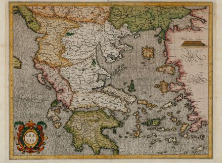
Graecia
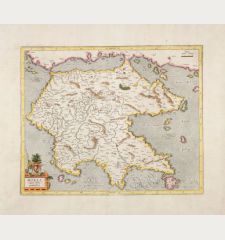
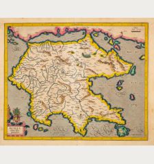
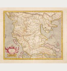
Gerard Mercator (*1512 - †1594)Old coloured map of Asia Minor, Aegean, Peloponnese. Printed in Duisburg by Gerard Mercator in 1589.
Reference 11497
Description
True first edition of Mercator's map of Greece with beautiful old colour.
Early and important map of Greece with stunning original colour. This is the real first edition published in 1589 during the lifetime of Gerard Mercator. To the lower left a beautiful title cartouche. Latin text and a coloured woodcut vignette on verso. From Italiae, Sclavoniae et Graeciae tabulae geographicae published in Duisburg as a part of his famous Atlas which was completed by his son Rumold in 1595.
Details
| Cartographer | Gerard Mercator |
| Title | Graecia |
| Publisher, Year | Gerard Mercator, Duisburg, 1589 |
| Plate Size | 36.0 x 46.6 cm (14.2 x 18.3 inches) |
| Sheet Size | 37.6 x 52.3 cm (14.8 x 20.6 inches) |
| Reference | Zacharakis, C.G.: A Catalogue of Printed Maps of Greece, 1477-1800, No. 2206/1447; Van der Krogt, P.: Koeman's Atlantes Neerlandici, 7800:1.1 |
Condition
Some browning in margin. Otherwise excellent copy of this rare first edition in old colours.
Cartographer
Gerard Mercator (Kremer) was born in Rupelmonde in Flanders and studied in Louvain. He drawn his first map in 1537 and became a cartographer and globe maker. In 1552 he moved to Duisburg, Germany where he published his famous 18-sheet world map in 1569 with his own new projection, today called Mercator projection. Later he decided to publish a new edition of Ptolemy's Geographia. Followed by his major work, a 3 volume collection of maps to which the word Atlas was applied the first time. The first volume was published 1585, followed by the second in 1589 and the third one after his death in 1595 by his son Rumold. A second edition of all three parts was published 1602. 1604 Jodocus Hondius acquired the plates and published several edition together with his sons Jodocus II and Henricus until 1633. More editions followed until 1666 by Janssonius who was in partnership with Henricus. Some of the plated where also used by W.J. Blaeu in 1630.
Images to Download
If you like to download the image of this map with a resolution of 1200 pixels, please follow the link below.
You can use this image for publication on your personal or commercial websites for free if you set a link to this website. If you need photographs with a higher resolution, please contact us.
Gerard Mercator: Graecia.
Old coloured map of Asia Minor, Aegean, Peloponnese. Printed in Duisburg by Gerard Mercator in 1589.

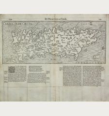
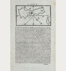
![[Candia, Crete, Karpathos] [Candia, Crete, Karpathos]](https://www.vintage-maps.com/2939-home_default/bordone-greece-crete-and-karpathos-1528-1565.jpg)

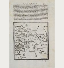
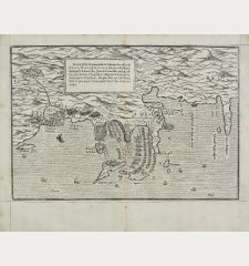
![[Euboea, Negroponte, Bosporus, Istanbul] [Euboea, Negroponte, Bosporus, Istanbul]](https://www.vintage-maps.com/2937-home_default/bordone-greece-negroponte-euboea-1528-1565.jpg)
