Product successfully added to your shopping cart
There are 0 items in your cart. There is 1 item in your cart.
Total products
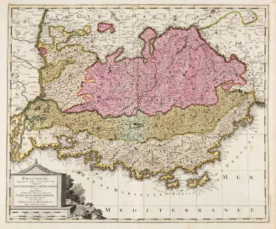
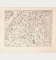
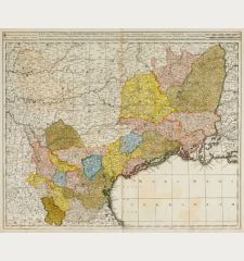
Provincia Supremarum Galliae Praefecturarum una Vulgariter Gouvernement de Provence ...
Gerard Valk (*1651 - †1726)Old coloured map of the Provence, Cote d'Azur. Printed in Amsterdam circa 1700.
Reference 11750
Description
Detailed, old coloured map of the Provence, Côte d'Azur by Gerard Valk. Shows the coastline from the Rhône estuary, Marseille, Toulon, Hyères to Nice, as well as the cities of Arles, Aix-en-Provence and Avignon. With a beautiful title cartouche.
Details
| Cartographer | Gerard Valk |
| Title | Provincia Supremarum Galliae Praefecturarum una Vulgariter Gouvernement de Provence ... |
| Publisher, Year | Amsterdam, circa 1700 |
| Plate Size | 49.2 x 59.0 cm (19.4 x 23.2 inches) |
| Sheet Size | 52.8 x 63.2 cm (20.8 x 24.9 inches) |
Condition
Minor creases around centrefold. Very good condition.
Cartographer
Gerard Valck and his son Leonard were dutch engravers, globe makers and publishers active in Amsterdam at end of the 17th century. They had a close relation to the Schenk family, since Pieter Schenk married Valk's sister in 1687.
Images to Download
If you like to download the image of this map with a resolution of 1200 pixels, please follow the link below.
You can use this image for publication on your personal or commercial websites for free if you set a link to this website. If you need photographs with a higher resolution, please contact us.
Gerard Valk: Provincia Supremarum Galliae Praefecturarum una Vulgariter Gouvernement de Provence ....
Old coloured map of the Provence, Cote d'Azur. Printed in Amsterdam circa 1700.


