Product successfully added to your shopping cart
There are 0 items in your cart. There is 1 item in your cart.
Total products
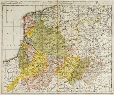
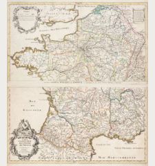
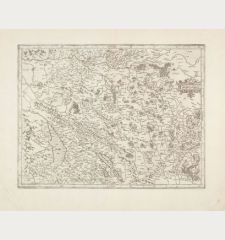
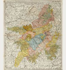
Praefectura Piccardiae, eaque Partita in Comitatus Guinensem ...
Gerard Valk (*1651 - †1726)Old coloured map of the Picardie, Pas-de-Calais. Printed in Amsterdam by G. Valk circa 1720.
Reference 11828
Description
Very detailed, antique map of the regions Pas-de-Calais and Picardie in the north of France by G. Valk. On the left the Atlantic coast from Dunkerque, Calais, Boulogne-sur-Mer to Abbeville. In the northeast Ghent and Brussels, in the south to Tergnier and Laon.
Details
| Cartographer | Gerard Valk |
| Title | Praefectura Piccardiae, eaque Partita in Comitatus Guinensem ... |
| Publisher, Year | G. Valk, Amsterdam, circa 1720 |
| Plate Size | 49.5 x 59.5 cm (19.5 x 23.4 inches) |
| Sheet Size | 52.5 x 60.5 cm (20.7 x 23.8 inches) |
Condition
A small worm trace backed in upper margin. Very good condition.
Cartographer
Gerard Valck and his son Leonard were dutch engravers, globe makers and publishers active in Amsterdam at end of the 17th century. They had a close relation to the Schenk family, since Pieter Schenk married Valk's sister in 1687.
Images to Download
If you like to download the image of this map with a resolution of 1200 pixels, please follow the link below.
You can use this image for publication on your personal or commercial websites for free if you set a link to this website. If you need photographs with a higher resolution, please contact us.
Gerard Valk: Praefectura Piccardiae, eaque Partita in Comitatus Guinensem ....
Old coloured map of the Picardie, Pas-de-Calais. Printed in Amsterdam by G. Valk circa 1720.
France - Valk, Gerard - Praefectura Piccardiae, eaque Partita in...


