Product successfully added to your shopping cart
There are 0 items in your cart. There is 1 item in your cart.

Description du pays d'Auvergne
Francois de Belleforest (*1530 - †1583)Reference 11653
Description
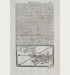
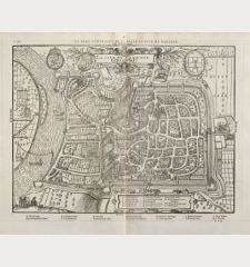
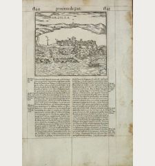
A rare and beautiful circular woodcut map of the Auvergne in central France. With west on top, it shows the river system of the Allier with Clermont-Ferrand in the background. The woodcut is based on the map of Gabriel Siméoni from 1561. Ruled in brown ink.
This woodcut was published in La Cosmographie Universelle de tout le monde, printed 1575 in two volumes in Paris by Nicolas Chesneau and Michel Sonnius with the French text by Francois de Belleforest. It is a French version of Sebastian Münster's Cosmographia Universalis. Most of the woodcut maps and drawings of Münster's work were discarded and new woodblocks have been made. The geographical information is mainly based on Abraham Ortelius and Braun & Hogenberg, but also comes from unknown sources. All maps and views of Paris edition by Belleforest are very rare since there was one edition in one language only. The woodcuts of the Basel edition by Seb. Münster were used in 46 different editions.
Details
| Cartographer | Francois de Belleforest |
| Title | Description du pays d'Auvergne |
| Publisher, Year | Nicolas Chesneau, Michel Sonnius, Paris, 1575 |
| Plate Size | 25.0 x 26.0 cm (9.8 x 10.2 inches) |
| Sheet Size | 36.7 x 46.5 cm (14.4 x 18.3 inches) |
Condition
Cartographer
François de Belleforest was a French writer, translator and poet during the Renaissance. In 1568 he became historian of King Henry III, but had to give up soon because of inaccuracies. He worked as a writer and translator and transferred the Cosmography of Sebastian Munster into French. La Cosmographie universelle de tout le monde was published 1575 in Paris and was created in collaboration with the two Parisian publishers Nicolas Chesneau and Michel Sonnius. He has not used Sebastian Munster as sole source, several maps and views are based on Ortelius and Braun / Hogenberg, but also own work and unknown sources are found in the important work.
The picture shows the bust of Belleforest in Samatan (Gers, France). Source: Wikipedia, BastienM.
Images to Download
If you like to download the image of this map with a resolution of 1200 pixels, please follow the link below.
You can use this image for publication on your personal or commercial websites for free if you set a link to this website. If you need photographs with a higher resolution, please contact us.
France - Belleforest, Francois de - Description du pays d'Auvergne


