Product successfully added to your shopping cart
There are 0 items in your cart. There is 1 item in your cart.
Total products
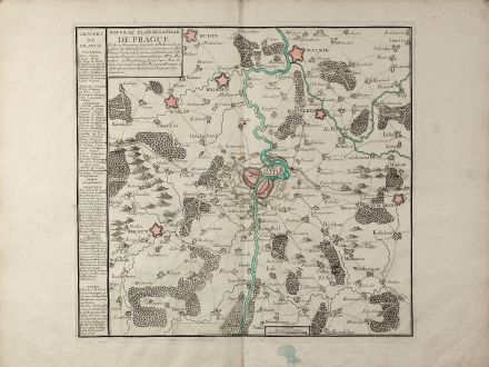
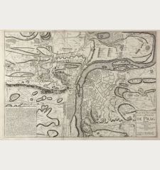
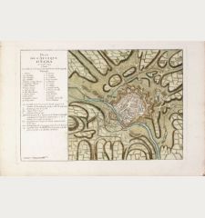
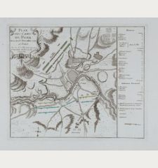
Nouveau Plan de la Ville de Prague Et de ses Environs, Capiltale de Bohème ...
Charles Antoine Jombert (*1712 - †1784)Coloured map of Prague, Praha. Printed in Paris circa 1742.
Reference 11058
Description
A rare separately issued battle plan of Prague by Baillieul and Jombert. Showing the Siege of Prague in 1742 with deployment of troops. With one mileage scale, text cartouche and a detailed legend. We only could locate a copy of this map in Yale and in the French National Archive.
Details
| Cartographer | Charles Antoine Jombert |
| Title | Nouveau Plan de la Ville de Prague Et de ses Environs, Capiltale de Bohème ... |
| Publisher, Year | Paris, circa 1742 |
| Plate Size | 42.6 x 46.0 cm (16.8 x 18.1 inches) |
| Sheet Size | 53.0 x 68.0 cm (20.9 x 26.8 inches) |
Condition
Very good condition.
Cartographer
Charles Antoine Jombert was a printer and bookseller active in Paris during the 18th Century.
Images to Download
If you like to download the image of this map with a resolution of 1200 pixels, please follow the link below.
You can use this image for publication on your personal or commercial websites for free if you set a link to this website. If you need photographs with a higher resolution, please contact us.
Charles Antoine Jombert: Nouveau Plan de la Ville de Prague Et de ses Environs, Capiltale de Bohème ....
Coloured map of Prague, Praha. Printed in Paris circa 1742.
Czechia - Bohemia - Jombert, Charles Antoine - Nouveau Plan de la Ville de Prague Et de...


