Product successfully added to your shopping cart
There are 0 items in your cart. There is 1 item in your cart.
Total products

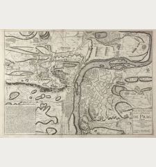
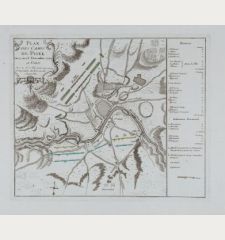
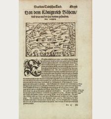
A Map of the Country round Prague ... / A Plan of the City of Prague with the Prussian...
Thomas Jefferys (*1695 - †1771)Coloured map of Praha, Prague. Printed in London by T. jefferys in 1757.
Reference 11018
Description
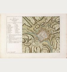
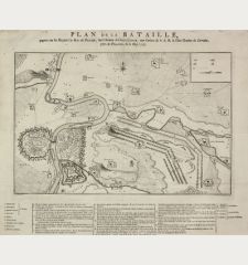
Two rare military plans of Prague with the surrounding area by T. Jefferys. Two maps printed from two plate on a single sheet with letterpress test in the middle. Showing the camps and batteries of the Prussic army in 1757 during the Seven Years War.
Details
| Cartographer | Thomas Jefferys |
| Title | A Map of the Country round Prague ... / A Plan of the City of Prague with the Prussian Camp and Batteries 1757. |
| Publisher, Year | T. jefferys, London, 1757 |
| Plate Size | 55.0 x 30.0 cm (21.7 x 11.8 inches) |
| Sheet Size | 59.0 x 49.0 cm (23.2 x 19.3 inches) |
Condition
Some horizontal crease alongside the centrefold. Good copy.
Cartographer
Thomas Jefferys was an english cartographer and publisher. He produced one of the finest maps of the time of the West Indies and North America. Jefferys also published english country maps.
Images to Download
If you like to download the image of this map with a resolution of 1200 pixels, please follow the link below.
You can use this image for publication on your personal or commercial websites for free if you set a link to this website. If you need photographs with a higher resolution, please contact us.
Thomas Jefferys: A Map of the Country round Prague ... / A Plan of the City of Prague with the Prussian Camp and Batteries 1757..
Coloured map of Praha, Prague. Printed in London by T. jefferys in 1757.
Czechia - Bohemia - Jefferys, Thomas - A Map of the Country round Prague ... / A...


