Product successfully added to your shopping cart
There are 0 items in your cart. There is 1 item in your cart.
Total products

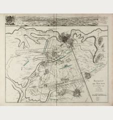
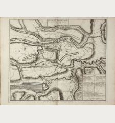
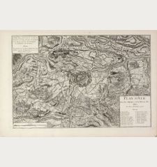
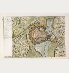
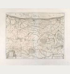
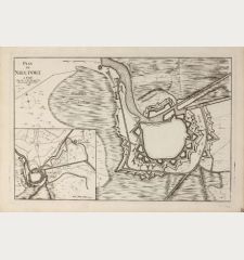
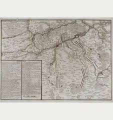
Plan du Combat qui s'est donne pres de Winendael entre les Troupes des Allies...
Pieter van Call (*1688 - †1737)Antique map of Wijnendale. Printed in The Hague by Etienne Foulque in 1729.
Reference 11227
Description
Rare plan of the Battle of Wijnendale of 28 September 1708, part of the War of the Spanish Succession. In the centre the Wijnendale Castle (Kasteel van Wijnendale).
We could only find a few copies of this map in public libraries and collections worldwide.
Details
| Cartographer | Pieter van Call |
| Title | Plan du Combat qui s'est donne pres de Winendael entre les Troupes des Allies commandees par le Gen. Maj. Webb et celles de France sous la conduite du Comte de la Motte. le 28 Sept.re ae 1708. |
| Publisher, Year | Etienne Foulque, The Hague, 1729 |
| Plate Size | 29.6 x 48.5 cm (11.7 x 19.1 inches) |
| Sheet Size | 35.5 x 51.5 cm (14.0 x 20.3 inches) |
Condition
Very good condition.
Cartographer
Pieter van Call was a Dutch geographer, cartographer and surveyor who worked in The Hague at the beginning of the 18th century.
Images to Download
If you like to download the image of this map with a resolution of 1200 pixels, please follow the link below.
You can use this image for publication on your personal or commercial websites for free if you set a link to this website. If you need photographs with a higher resolution, please contact us.
Pieter van Call: Plan du Combat qui s'est donne pres de Winendael entre les Troupes des Allies commandees par le Gen. Maj. Webb et celles de....
Antique map of Wijnendale. Printed in The Hague by Etienne Foulque in 1729.
Belgium - Call, Pieter van - Plan du Combat qui s'est donne pres de...

