Product successfully added to your shopping cart
There are 0 items in your cart. There is 1 item in your cart.
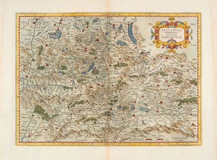
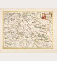
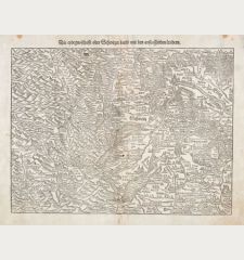
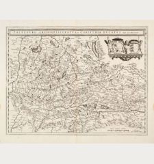
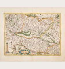
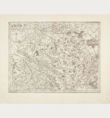
Saltzburg Archiepiscopatus cum Ducatu Carinthiae
Gerard Mercator (*1512 - †1594)Reference 12947
Description
Antique map of the province of Salzburg and Carinthia by Gerard Mercator. Shows the area from Vöklabruck in the north to Malborghetto in the south and from Zell am Ziller in the west to Völkermarkt in the east. Including the entire Salzkammergut and parts of the Chiemgau. With the Atterssee, Wolfgangsee, the Inn in the north, Chiemsee, Königssee, Zeller See, Traunkirchen am Traunsee, Bruneck, Berchtesgaden and Hallstatt. Decorated with a beautiful title cartouche.
This beautiful example comes from the Latin edition of the Mercator-Hondius Atlas of 1630, printed from the same plate that was used for the atlas of 1595. Latin text on the reverse.
Details
| Cartographer | Gerard Mercator |
| Title | Saltzburg Archiepiscopatus cum Ducatu Carinthiae |
| Publisher, Year | H. Hondius, Amsterdam, 1630 |
| Plate Size | 34.2 x 47.5 cm (13.5 x 18.7 inches) |
| Sheet Size | 46.0 x 56.5 cm (18.1 x 22.2 inches) |
| Reference | Van der Krogt, P.: Koeman's Atlantes Neerlandici, 2720:1A.2 |
Condition
Cartographer
Images to Download
If you like to download the image of this map with a resolution of 1200 pixels, please follow the link below.
You can use this image for publication on your personal or commercial websites for free if you set a link to this website. If you need photographs with a higher resolution, please contact us.
Austria - Hungary - Mercator, Gerard - Saltzburg Archiepiscopatus cum Ducatu...

