Product successfully added to your shopping cart
There are 0 items in your cart. There is 1 item in your cart.
Total products

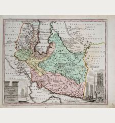
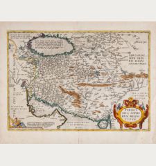
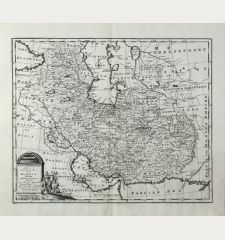
New Map of Persia divided into its provinces from the latest authorities by T. Kitchin...
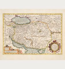
Thomas Kitchin (*1719 - †1784)Coloured map of Iran, Persia, Gulf of Oman, Persian Gulf. Printed in London by Alexander Hogg in 1782.
Reference 11890
Description
Engraved antique map of Persia showing the area of Iran and the Persian Gulf with the Emirates and the gulf of Oman. From Millar's New & Universal System of Geographer published in London in 1782. Decorated with a title cartouche.
Details
| Cartographer | Thomas Kitchin |
| Title | New Map of Persia divided into its provinces from the latest authorities by T. Kitchin geog. Hydrographer to his Majesty |
| Publisher, Year | Alexander Hogg, London, 1782 |
| Plate Size | 38.3 x 34.2 cm (15.1 x 13.5 inches) |
| Sheet Size | 46.7 x 37.2 cm (18.4 x 14.6 inches) |
Condition
Very good conditions.
Cartographer
Thomas Kitchin was an English cartographer, publisher and engraver in the 18th century. His maps can be found among others, in the following works:
- The General Atlas, Describing the Whole Universe, 1773
- London Magazine, 1747-83
- Universal Magazine, 1747-66
- Dodsley's England Illustrated, 1764
- Large English Atlas and the Royal English Atlas, 1763
Images to Download
If you like to download the image of this map with a resolution of 1200 pixels, please follow the link below.
You can use this image for publication on your personal or commercial websites for free if you set a link to this website. If you need photographs with a higher resolution, please contact us.
Thomas Kitchin: New Map of Persia divided into its provinces from the latest authorities by T. Kitchin geog. Hydrographer to his Majesty.
Coloured map of Iran, Persia, Gulf of Oman, Persian Gulf. Printed in London by Alexander Hogg in 1782.
Middle East - Kitchin, Thomas - New Map of Persia divided into its...

![[Die Tafel gibt ein klein anzeigung...] [Die Tafel gibt ein klein anzeigung...]](https://www.vintage-maps.com/1544-home_default/muenster-holy-land-israel-cyprus-1574.jpg)

