Product successfully added to your shopping cart
There are 0 items in your cart. There is 1 item in your cart.
Antique Maps and Atlases
We offer rare maps by the most famous cartographers, sea charts from the Age of Discovery and atlases printed almost 500 years ago.
Only authentic antique maps dating from the 15th to the 19th centuries. - Guaranteed.
Shipping worldwide.
Highlights
1528 - Benedetto Bordone
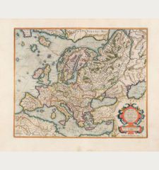
[Map of Europe]
Venice, 1528-1565
Bordone's map of EuropeEarly woodcut map of Europe by Benedetto Bordone. One of the erliest printed maps of Europe. Shows Europe, the Mediterranean Sea, North Africa in the south and Norway...
[Map of Europe]
12195Antique woodcut map of the European continent. Printed in Venice between 1528 and 1565.
2 700,00 €1571 - Giovanni Francesco Camocio
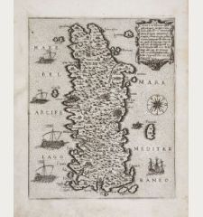
Candia vel Creta insula posta nel mare Mediterraneo...
G. F. Camocio, Venice, 1571
A very rare, early map of Crete from Camocio's Isole Famose . Showing the island surrounded by Venetian galleys with a nice renaissance cartouche and a compass rose. This copy is printed from the...
Candia vel Creta insula posta nel mare Mediterraneo...
11179Antique map of Crete. Printed in Venice by G. F. Camocio in 1571.
1 400,00 €1628 - Gerard Mercator
Europa, ad magnae Europae Gerardi Mercatoris
Henricus Hondius, Amsterdam, 1628
This map of Europe is from Mercator's Atlas sive Cosmographicae Meditationes de Fabrica Mundi et Fabricati Figura, first published in 1595.The geography depicted on the map corresponds to...
Europa, ad magnae Europae Gerardi Mercatoris
12766Coloured map of the European continent. Printed in Amsterdam by Henricus Hondius in 1628.
2 700,00 €1597 - Cornelius Wytfliet
Residuum Continentis Cum Adiacentibus Insulis.
Louvain, circa 1597
Early and important antique map of Venezuela and the eastern part of the Caribbean by Cornelis van Wytfliet. First published in 1597 in Descriptionis Ptolemaicae Augmentum . Showing the north...
Residuum Continentis Cum Adiacentibus Insulis.
11884Antique map of Venezuela and the Caribbean. Printed in Louvain circa 1597.
820,00 €1705 - Maria Sibylla Merian
Ananas [Pineapple with Cockroaches - Ananas mit Schaben]
1705-71
The first and one of the most beautiful engravings of Maria Sibylla Merian's Metamorphosis insectorum Surinamensium . Merian combines the most enchanting and the most repulsive on one sheet. She...
Ananas [Pineapple with Cockroaches - Ananas mit Schaben]
12404Engraving of a pineapple plant with cockroaches. Printed between 1705-71.
3 400,00 €1593 - Gerard de Jode
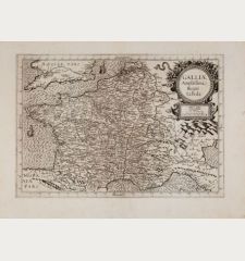
Galliae amplissimi regni tabula
G. de Jode, Antwerp, 1593
Rare antique map of France by Gerard de Jode. The map appeared only in the second edition of G. de Jodes Atlas Speculum orbis terrae in 1593. To the top right a decorative title cartouche, in the...
Galliae amplissimi regni tabula
12407Antique map of France. Printed in Antwerp by G. de Jode in 1593.
1 200,00 €
New Additions
1720 - Johann Baptist Homann
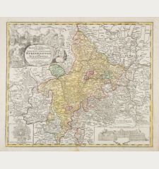
Ducatus Franciae Orientalis seu Sac. Rom. Imperii Principatus et Episcopatus Herbipolensis.
J. B. Homann, Nuremberg, circa 1720
Old colored, very detailed antique map of Franconia by J. B. Homann. From Tann (Rhön) in the north to Rothenburg in the south, in the east from Lichtenfels to Aschaffenburg in the west. With...
Ducatus Franciae Orientalis seu Sac. Rom. Imperii Principatus et...
12978Old coloured map of Franconia. Printed in Nuremberg by J. B. Homann circa 1720.
280,00 €1740 - Johann Baptist Homann
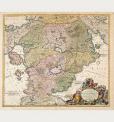
Accurata Utopiae tabula. Das ist der Neu-entdeckten Schalck-Welt, oder des so offt benannten, und...
Homann Erben, circa 1740
The Famous Sought After Fantasy Map of Utopia.Schlaraffenland means Land of Cockaigne or Land of milk and honey in German and represents a country of idleness and luxury. This is a...
Accurata Utopiae tabula. Das ist der Neu-entdeckten Schalck-Welt, oder...
12979Old coloured map of Utopia, Land of Cockaigne. Printed by Homann Erben circa 1740.
1 700,00 €1730 - George Matthäus Seutter
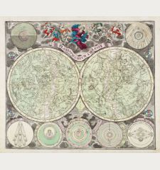
Planisphaerium coeleste
M. Seutter, Augsburg, circa 1730
Beautiful double hemisphere celestial chart of the northern and southern sky with allegorical constellations by Matthäus Seutter. The star map is surrounded by seven smaller astronomical diagrams....
Planisphaerium coeleste
12980Old coloured celestial map. Printed in Augsburg by M. Seutter circa 1730.
1 500,00 €1649 - Joan Blaeu
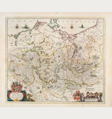
Marchionatus Brandenburgicus
Joan Blaeu, Amsterdam, 1649-50
Antique map of the Margraviate of Brandenburg by J. Blaeu. From the island of Rügen with Mecklenburg and Pomerania to Saxony-Anhalt. In the east the northwestern part of Poland. With Berlin,...
Marchionatus Brandenburgicus
12981Old coloured map of Brandenburg, Germany. Printed in Amsterdam by Joan Blaeu in 1649.
390,00 €1730 - Guillaume de l'Isle
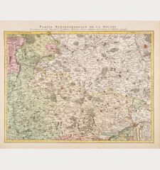
Partie Septentrionale de la Souabe
Covens & Mortier, Amsterdam, circa 1730
Antique map of northern Württemberg and Franken by Guillaume de l'Isle. This is the Covens & Mortier edition of the detailed map by G. de l'Isle. Showing the area Hornberg, Nuremberg, Stuttgart. In...
Partie Septentrionale de la Souabe
12982Old coloured map of Nordwürttemberg, Franken. Printed in Amsterdam by Covens & Mortier circa 1730.
300,00 €1680 - Frederick de Wit
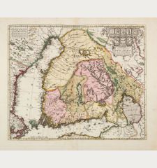
Nova Tabula Magni Ducatus Finlandiae in Provincias Divisa, Multis Locis...
F. de Wit, Amsterdam, circa 1680
Old colored antique map of Finland by Frederick de Wit. Surrounded by the Gulf of Bothnia and the Gulf of Finland. In the west parts of Sweden and Aland, in the east Lake Ladoga. With Helsinki,...
Nova Tabula Magni Ducatus Finlandiae in Provincias Divisa, Multis Locis...
12983Old coloured map of Finland. Printed in Amsterdam by F. de Wit circa 1680.
450,00 €

![Benedetto Bordone: [Map of Europe] Bordone, Europe Continent, 1528-1565: [Map of Europe]](https://www.vintage-maps.com/2931-home_default/bordone-europe-continent-1528-1565.jpg)
![Maria Sibylla Merian: Ananas [Pineapple with Cockroaches - Ananas mit Schaben] Merian, Pineapple with Cockroaches, 1705-71: Ananas [Pineapple with Cockroaches - Ananas mit Schaben]](https://www.vintage-maps.com/3235-home_default/merian-pineapple-with-cockroaches-1705-71.jpg)
