Product successfully added to your shopping cart
There are 0 items in your cart. There is 1 item in your cart.
Antique Maps and Atlases
We offer rare maps by the most famous cartographers, sea charts from the Age of Discovery and atlases printed almost 500 years ago.
Only authentic antique maps dating from the 15th to the 19th centuries. - Guaranteed.
Shipping worldwide.
Highlights
1715 - Frederick de Wit
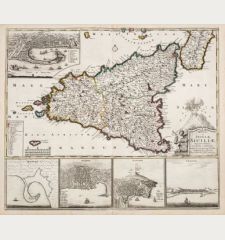
Regni et Insulae Siciliae
Covens & Mortier, Amsterdam, circa 1715
Rare antique map of Sicily (Sicilia) by Frederick de Wit. This is the edition with the imprint of Covens and Mortier. Shows the Mediterranean island of Sicily with a beautiful title cartouche with...
Regni et Insulae Siciliae
12534Old coloured map of Sicily (Sicilia). Printed in Amsterdam by Covens & Mortier circa 1715.
1 900,00 €1628 - Gerard Mercator
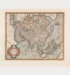
Asia ex Magna Orbis Terre Descriptione Gerardi Mercatoris Desumpta, Studio et Industria G.M....
Henricus Hondius, Amsterdam, 1628
A very fine example of Mercator's map of Asia. It is based on the famous 1569 world map by Mercator, was engraved by his grandson and first published in 1595.The map depicts the coasts of...
Asia ex Magna Orbis Terre Descriptione Gerardi Mercatoris Desumpta,...
12780Coloured map of the Asian continent. Printed in Amsterdam by Henricus Hondius in 1628.
3 000,00 €1633 - Jodocus Hondius
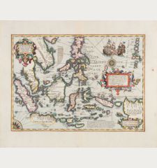
Insulae Indiae Orientalis Praecipuae, In quibus Moluccae celeberrime sunt
Henricus Hondius, Amsterdam, 1633
The Most Elegant and Decorative Map of the Region (Thomas Suarez)This map by the Dutch mapmaker Jodocus Hondius depicts the European knowledge of the East Indies, which became increasingly...
Insulae Indiae Orientalis Praecipuae, In quibus Moluccae celeberrime sunt
12777Coloured map of Southeast Asia. Printed in Amsterdam by Henricus Hondius in 1633.
3 600,00 €1629 - Henry Raigniauld
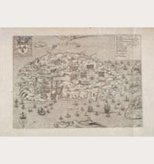
Isle et Siege de Malte
J. Baudoin - A. de Naberat, Paris, 1629 or 1640
Rare antique map of Malta engraved by H. Raigniauld. From Histoire des Chevaliers de l'Ordre de S. Iean de Hierusalem by J. Baudoin or from the edition by A. de Naberat. The maps shows the Great...
Isle et Siege de Malte
12552Antique map of Malta. Printed in Paris by J. Baudoin - A. de Naberat in 1629 or 1640.
1 400,00 €1572 - Tomaso Porcacchi
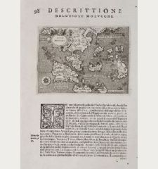
Isole Molucche - Isole Molvcche - Descrittione dell'Isola Molucche
Simon Galignani, Girolamo Porro, Venice, 1572
First edition of Porcacchi's very attractive and early map of the East Indies and Indochina. This finely-executed map is one of the earliest obtainable maps of Southeast Asia and shows Malaysia,...
Isole Molucche - Isole Molvcche - Descrittione dell'Isola Molucche
12373Antique map of Southeast Asia. Printed in Venice by Simon Galignani, Girolamo Porro in 1572.
890,00 €1702 - Anonymous
[Donau Strom von Sigmaringen bis Donauwörth]
circa 1702
Important manuscript map of the Danube River in Upper Swabia on vellum.Very large, impressive and detailed manuscript map of the Danube river between Sigmaringen and Donauwörth. Drawn on...
[Donau Strom von Sigmaringen bis Donauwörth]
12078Manuscript map on vellum of Upper Swabia. Drawn around 1702.
8 500,00 €
New Additions
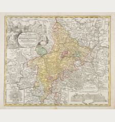
1720 - Johann Baptist Homann
Ducatus Franciae Orientalis seu Sac. Rom. Imperii Principatus et Episcopatus Herbipolensis.
J. B. Homann, Nuremberg, circa 1720
Old colored, very detailed antique map of Franconia by J. B. Homann. From Tann (Rhön) in the north to Rothenburg in the south, in the east from Lichtenfels to Aschaffenburg in the west. With...
Ducatus Franciae Orientalis seu Sac. Rom. Imperii Principatus et...
12978Old coloured map of Franconia. Printed in Nuremberg by J. B. Homann circa 1720.
280,00 €1730 - George Matthäus Seutter
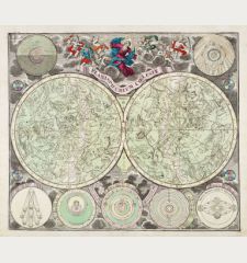
Planisphaerium coeleste
M. Seutter, Augsburg, circa 1730
Beautiful double hemisphere celestial chart of the northern and southern sky with allegorical constellations by Matthäus Seutter. The star map is surrounded by seven smaller astronomical diagrams....
Planisphaerium coeleste
12980Old coloured celestial map. Printed in Augsburg by M. Seutter circa 1730.
1 500,00 €1730 - Guillaume de l'Isle
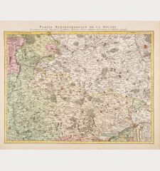
Partie Septentrionale de la Souabe
Covens & Mortier, Amsterdam, circa 1730
Antique map of northern Württemberg and Franken by Guillaume de l'Isle. This is the Covens & Mortier edition of the detailed map by G. de l'Isle. Showing the area Hornberg, Nuremberg, Stuttgart. In...
Partie Septentrionale de la Souabe
12982Old coloured map of Nordwürttemberg, Franken. Printed in Amsterdam by Covens & Mortier circa 1730.
300,00 €1730 - George Matthäus Seutter
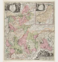
Bavariae Pars Superior, designatis Confinibus etiam Provinciis
G. M. Seutter, Augsburg, circa 1730
Antique map of Upper Bavaria by G. M. Seutter. Shows the area from Donauwörth to Hof and Füssen to Bad Reichenhall. With Augsburg, Freising, Ingolstadt, Munich and Traunstein. At upper right an...
Bavariae Pars Superior, designatis Confinibus etiam Provinciis
12972Old coloured map of Oberbayern. Printed in Augsburg by G. M. Seutter circa 1730.
400,00 €1635 - Willem Janszoon Blaeu
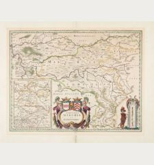
Comitatus Marchia et Ravensberg
Joan Blaeu, Amsterdam, circa 1635
Antique map of the counties of Mark and Ravensberg by W. J. Blaeu. At the bottom centre a large cartouche with the coats of arms of the two counties. At the bottom left a small map of the county of...
Comitatus Marchia et Ravensberg
12973Coloured map of Mark and Ravensberg. Printed in Amsterdam by Joan Blaeu circa 1635.
380,00 €1730 - George Matthäus Seutter
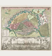
Hamburg eine Weltberühmte Freye Reichs und Hansee, auch reiche u. Volkreiche Handels Statt an der...
M. Seutter, Augsburg, circa 1730
Beautiful, large plan of the city of Hamburg by Matthäus Seutter in excellent condition. Town plan with fortifications and buildings. In the lower third the ornamentally decorated prospect of the...
Hamburg eine Weltberühmte Freye Reichs und Hansee, auch reiche u....
12974Old coloured city plan of Hamburg, Germany. Printed in Augsburg by M. Seutter circa 1730.
1 600,00 €

![Anonymous: [Donau Strom von Sigmaringen bis Donauwörth] Anonymous, Germany, Baden-Wuerttemberg, Danube, 1702: [Donau Strom von Sigmaringen bis Donauwörth]](https://www.vintage-maps.com/2606-home_default/anonymous-germany-baden-wuerttemberg-danube-1702.jpg)
