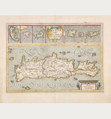
Product successfully added to your shopping cart
There are 0 items in your cart. There is 1 item in your cart.
Atlas minor à I.Hondio plurimis aeneis tabulis auctus atque illustratus.
Gerard Mercator (*1512 - †1594)Reference 12787
Description
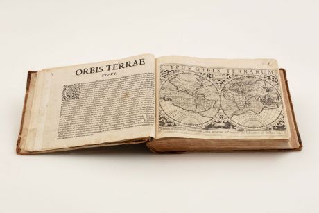
Rare First Edition of the Atlas Minor by Mercator. With 153 Maps.
A complete and well preserved example of the rare first edition of Mercator's Atlas Minor.
In 1607, Jodocus Hondius published a reduced edition of Mercator's Atlas sive Cosmographia, called the Atlas Minor, following a tradition that originated in Antwerp in 1577 with the Epitome, a smaller version of Ortelius's Theatrum Orbis Terrarum, and the Caert-Thresoor, published by Cornelis Claesz since 1598. The Epitome and Caert-Thresoor featured very small maps, typically measuring 8 to 9 cm in height and 11 to 13 cm in width (about 100 sq. cm).
In contrast, the maps in Hondius's Atlas Minor were larger, measuring 15 x 20 cm (about 300 sq. cm). Despite being three times the size of Claesz.'s Caert-Thresoor, Hondius's Atlas Minor was not intended as a direct competitor. Instead, it should be seen as an additional atlas that falls between pocket-sized atlases and larger folio-sized atlases in terms of price and information provided.
Between 1607 and 1614, the copperplates were used for various editions of the Atlas Minor published by Jodocus Hondius Sr. and later by Jan Jansz. of Arnhem in 1621. Subsequently, between 1621 and 1625, the copperplates were sold to new owners in England. Some of the maps from the Atlas Minor were used to illustrate Samuel Purchas's Purchas his pilgrimes (1625-26). In 1635, the majority of the plates were utilized in the English translation of Mercator's Atlas, known as the Historia Mundi, published by Michael Sparke. Philip Burden has identified several subsequent works that used at least the map of America from these plates, with the last known usage being in 1657. Additionally, Burden mentions an untitled atlas by Robert Walton in which all the maps, except the world map, were sourced from this series of plates.
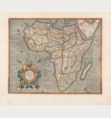
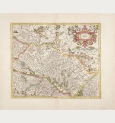
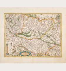
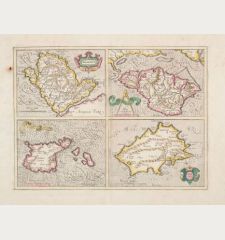
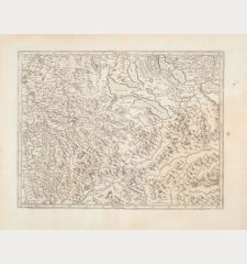
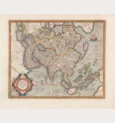
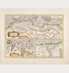
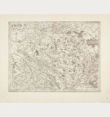
The atlas contains the following maps: World map (Shirley 259) and 4 continental maps, North Pole (in the round), 117 maps of Europe, 7 maps of Africa, 11 maps of Asia, 5 of the Americas, and 6 thematic maps, including another world map depicting religions (Shirley 260). With the often missing 7 additional maps without text on verso as described by Koeman. Maps related to America: The world map "Typus Orbis Terrarum", "America", "Polus Arcticus", "Hispania Nova", "Virginia & Florida", "Cuba", "America Meridionalis", "Fretum Magellanicum", and "Designatio Orbis Christiani".
Details
| Cartographer | Gerard Mercator |
| Title | Atlas minor à I.Hondio plurimis aeneis tabulis auctus atque illustratus. |
| Publisher, Year | J. Hondius, C. Claesz, J. Janssonius, Amsterdam, 1607 |
| Size | 17.0 x 23.5 cm (6.7 x 9.3 inches), 8vo |
| Illustrations | 1 copper engravingstitle, full page copper engraving and 153 full page copper engraved maps |
| Cover | Half leather binding with label on spine |
| Reference | Van der Krogt, P.: Koeman's Atlantes Neerlandici: 351.01; Phillips, P.L.: A List of Geographical Atlases in the Library of Congress: #425; Shirley, R. W.: The Mapping of the World, No. 259 |
Condition
Half leather of the time with gold stamped spine label.
Engraved title and last map fingerstained, with marginal tears and completely backed, the map also with vertical creases, at the beginning and at the end with worm traces in the joints, the map and text sheet "Andaluzia" with tear in the margin, the plates with handwritten pagination. Some spotting and some minor dampstaining in outer margins.
Cartographer
Images to Download
If you like to download the image of this map with a resolution of 1200 pixels, please follow the link below.
You can use this image for publication on your personal or commercial websites for free if you set a link to this website. If you need photographs with a higher resolution, please contact us.
Atlases - Mercator, Gerard - Atlas minor à I.Hondio plurimis aeneis...

![Ch'onha Chido [Atlas of all under Heaven] Ch'onha Chido [Atlas of all under Heaven]](https://www.vintage-maps.com/3336-home_default/anonymous-korean-manuscript-atlas-chonha-chido-1820.jpg)
![Ch'onha Chido [Atlas of all under Heaven] Ch'onha Chido [Atlas of all under Heaven]](https://www.vintage-maps.com/4291-home_default/anonymous-korean-manuscript-atlas-chonha-chido-1800.jpg)
![Ch'onha chido [Atlas of all under Heaven] Ch'onha chido [Atlas of all under Heaven]](https://www.vintage-maps.com/3314-home_default/anonymous-korean-woodblock-atlas-chonha-chido-1750.jpg)
