Product successfully added to your shopping cart
There are 0 items in your cart. There is 1 item in your cart.
Total products
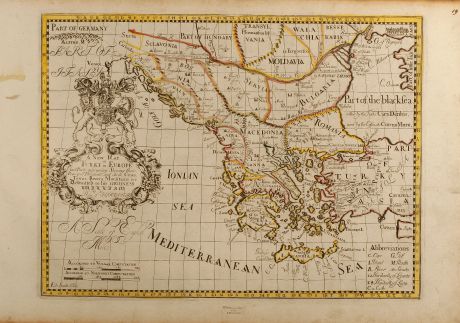
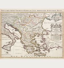
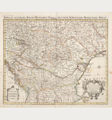
A New Map of Turky in Europe and parts adjoyning shewing their principal divisions and...
Edward Wells (*1667 - †1727)Coloured map of the Balkan, Turkey. Printed in Oxford in the year 1700.
Reference 10159
Description
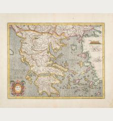
Nice map of Turkey, the Balkan and Greece from A New Sett of Maps both of Antient and Present Geography by E. Wells dedicated to William, the Duke of Gloucester how died aged eleven just in the year the set of 22 maps was printed. Showing the area between Venice, Danube estuary and Cyprus.
Details
| Cartographer | Edward Wells |
| Title | A New Map of Turky in Europe and parts adjoyning shewing their principal divisions and chiefe cities, towns, rivers, mountains &c. Dedicated to His Highness William Duke of Glocester |
| Publisher, Year | Oxford, 1700 |
| Plate Size | 36.3 x 48.9 cm (14.3 x 19.3 inches) |
| Reference | Zacharakis 2372 |
Condition
Library stamp in lower margin, some browning especially in margin, otherwise fine condition.
Cartographer
Edward Wells, born in 1667, was a British teacher and mathematician how issued A New Sett of Maps dedicated to William the Duke of Gloucester in 1700. He died in 1727.
Images to Download
If you like to download the image of this map with a resolution of 1200 pixels, please follow the link below.
You can use this image for publication on your personal or commercial websites for free if you set a link to this website. If you need photographs with a higher resolution, please contact us.
Edward Wells: A New Map of Turky in Europe and parts adjoyning shewing their principal divisions and chiefe cities, towns, rivers,....
Coloured map of the Balkan, Turkey. Printed in Oxford in the year 1700.
Greece - Wells, Edward - A New Map of Turky in Europe and parts...

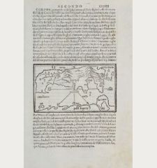
![[Candia, Crete, Karpathos] [Candia, Crete, Karpathos]](https://www.vintage-maps.com/2939-home_default/bordone-greece-crete-and-karpathos-1528-1565.jpg)
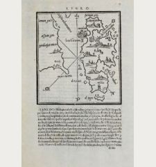
![[Euboea, Negroponte, Bosporus, Istanbul] [Euboea, Negroponte, Bosporus, Istanbul]](https://www.vintage-maps.com/2937-home_default/bordone-greece-negroponte-euboea-1528-1565.jpg)
