Product successfully added to your shopping cart
There are 0 items in your cart. There is 1 item in your cart.
Total products
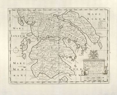
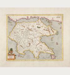
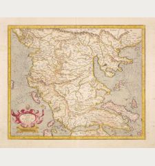
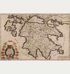
A New Map of the So. & Mid. Parts of Antient Greece viz. Epirus, Hellas, or Graecia...
Edward Wells (*1667 - †1727)Antique map of Greece. Printed circa 1700.
Reference 10423
Description
Copper engraved map of Greece by E. Wells, engraved by Sutton Nicholls. Showing the Peloponnese, Central Greece and Attica.
Details
| Cartographer | Edward Wells |
| Title | A New Map of the So. & Mid. Parts of Antient Greece viz. Epirus, Hellas, or Graecia Propria, and Peloponnesus, together with the Adjoyning Islands. Dedicated to His Highness William Duke of Glocester |
| Publisher, Year | circa 1700 |
| Plate Size | 36.2 x 48.2 cm (14.3 x 19.0 inches) |
| Sheet Size | 47.0 x 56.8 cm (18.5 x 22.4 inches) |
| Reference | Zacharakis 2127 |
Condition
Excellent condition.
Cartographer
Edward Wells, born in 1667, was a British teacher and mathematician how issued A New Sett of Maps dedicated to William the Duke of Gloucester in 1700. He died in 1727.
Images to Download
If you like to download the image of this map with a resolution of 1200 pixels, please follow the link below.
You can use this image for publication on your personal or commercial websites for free if you set a link to this website. If you need photographs with a higher resolution, please contact us.
Edward Wells: A New Map of the So. & Mid. Parts of Antient Greece viz. Epirus, Hellas, or Graecia Propria, and Peloponnesus, together with....
Antique map of Greece. Printed circa 1700.
Greece - Wells, Edward - A New Map of the So. & Mid. Parts of...


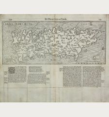
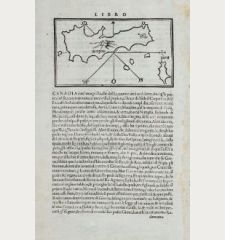
![[Candia, Crete, Karpathos] [Candia, Crete, Karpathos]](https://www.vintage-maps.com/2939-home_default/bordone-greece-crete-and-karpathos-1528-1565.jpg)
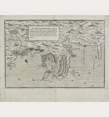
![[Euboea, Negroponte, Bosporus, Istanbul] [Euboea, Negroponte, Bosporus, Istanbul]](https://www.vintage-maps.com/2937-home_default/bordone-greece-negroponte-euboea-1528-1565.jpg)
