Product successfully added to your shopping cart
There are 0 items in your cart. There is 1 item in your cart.
Antique Maps and Atlases
We offer rare maps by the most famous cartographers, sea charts from the Age of Discovery and atlases printed almost 500 years ago.
Only authentic antique maps dating from the 15th to the 19th centuries. - Guaranteed.
Shipping worldwide.
Highlights
1643 - Willem Janszoon Blaeu
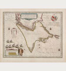
Tabula Magellanica, qua Tierrae del fuego cum celeberrimis fretis a F. Magellano et I. Le Maire...
Joan Blaeu, Amsterdam, 1643-50
Blaeu's splendid map of Tierra de Fuego with the Strait of Magellan.Old coloured sea chart of Tierra de Fuego with the Strait of Magellan and Le Maire Strait by Willem Blaeu. From the French...
Tabula Magellanica, qua Tierrae del fuego cum celeberrimis fretis a F....
11765Old coloured sea chart of the Strait of Magellan, Tierra del Fuego. Printed in Amsterdam by Joan Blaeu in 1643.
1 250,00 €1528 - Benedetto Bordone
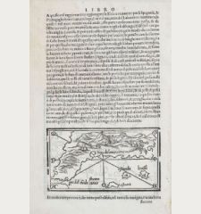
Terra de lavoratore
Venice, 1528-1565
Rare and sought-after map of North America by Benedetto Bordone. Shows the North American continent with the northern part of South America. With several settlements and the name Terra de...
Terra de lavoratore
12248Antique woodcut map of North America. Printed in Venice between 1528 and 1565.
2 600,00 €1584 - Abraham Ortelius
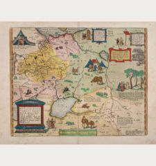
Russiae, Moscoviae et Tartariae Descriptio. Auctore Antonio Ienkensono Anglo, Edita Londini Anno...
Antwerp, 1584
Fascinating copper engraved map of Russia by A. Ortelius in stunning original colors. Showing the region from the Baltic Sea, Lithuania and the Black Sea to the Sur River, Tashkent, the Kossack...
Russiae, Moscoviae et Tartariae Descriptio. Auctore Antonio Ienkensono...
11358Old coloured map of Siberia, Moscow. Printed in Antwerp in the year 1584.
1 900,00 €1493 - Hartmann Schedel
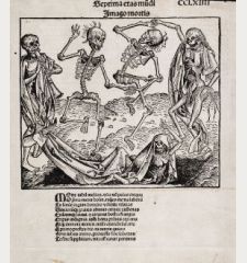
Imago Mortis
Anton Koberger, Nuremberg, 1493
The famouse Dance of Death or Danse Macabre is one of the most sought after leaves of the Nuremberg Chronicle by Hartmann Schedel. This woodcut is attribute occasionally to Albrecht Dürer....
Imago Mortis
12612Dance of the Death (Danse Macabre) by Wilhelm Pleydenwurff from Schedel's world chronicle, printed in Nuremberg in 1493.
2 200,00 €1800 - Anonymous
Ch'onha Chido [Atlas of all under Heaven]
circa 1800
A Scarce Korean Manuscript Atlas.Rare Korean manuscript atlas with 12 maps, produced around 1800. With a world map (Chonha-Do) with China in the center, a map of China with Korea, a map of...
Ch'onha Chido [Atlas of all under Heaven]
12834Korean Manuscript Atlas, Ch'onha-Chido, around 1800
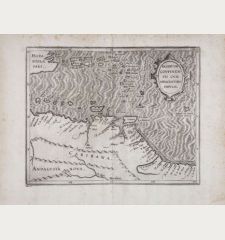
8 000,00 €1597 - Cornelius Wytfliet
Residuum Continentis Cum Adiacentibus Insulis.
Louvain, circa 1597
Early and important antique map of Venezuela and the eastern part of the Caribbean by Cornelis van Wytfliet. First published in 1597 in Descriptionis Ptolemaicae Augmentum . Showing the north...
Residuum Continentis Cum Adiacentibus Insulis.
11884Antique map of Venezuela and the Caribbean. Printed in Louvain circa 1597.
820,00 €
New Additions
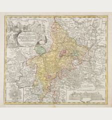
1720 - Johann Baptist Homann
Ducatus Franciae Orientalis seu Sac. Rom. Imperii Principatus et Episcopatus Herbipolensis.
J. B. Homann, Nuremberg, circa 1720
Old colored, very detailed antique map of Franconia by J. B. Homann. From Tann (Rhön) in the north to Rothenburg in the south, in the east from Lichtenfels to Aschaffenburg in the west. With...
Ducatus Franciae Orientalis seu Sac. Rom. Imperii Principatus et...
12978Old coloured map of Franconia. Printed in Nuremberg by J. B. Homann circa 1720.
280,00 €1740 - Johann Baptist Homann
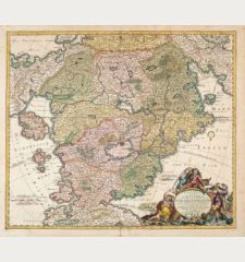
Accurata Utopiae tabula. Das ist der Neu-entdeckten Schalck-Welt, oder des so offt benannten, und...
Homann Erben, circa 1740
The Famous Sought After Fantasy Map of Utopia.Schlaraffenland means Land of Cockaigne or Land of milk and honey in German and represents a country of idleness and luxury. This is a...
Accurata Utopiae tabula. Das ist der Neu-entdeckten Schalck-Welt, oder...
12979Old coloured map of Utopia, Land of Cockaigne. Printed by Homann Erben circa 1740.
1 700,00 €1730 - George Matthäus Seutter
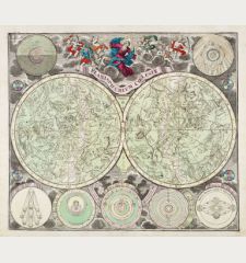
Planisphaerium coeleste
M. Seutter, Augsburg, circa 1730
Beautiful double hemisphere celestial chart of the northern and southern sky with allegorical constellations by Matthäus Seutter. The star map is surrounded by seven smaller astronomical diagrams....
Planisphaerium coeleste
12980Old coloured celestial map. Printed in Augsburg by M. Seutter circa 1730.
1 500,00 €1649 - Joan Blaeu
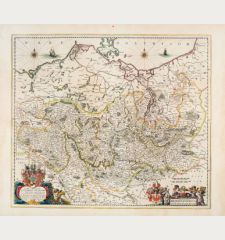
Marchionatus Brandenburgicus
Joan Blaeu, Amsterdam, 1649-50
Antique map of the Margraviate of Brandenburg by J. Blaeu. From the island of Rügen with Mecklenburg and Pomerania to Saxony-Anhalt. In the east the northwestern part of Poland. With Berlin,...
Marchionatus Brandenburgicus
12981Old coloured map of Brandenburg, Germany. Printed in Amsterdam by Joan Blaeu in 1649.
390,00 €1730 - Guillaume de l'Isle
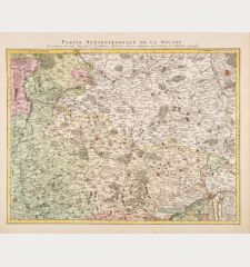
Partie Septentrionale de la Souabe
Covens & Mortier, Amsterdam, circa 1730
Antique map of northern Württemberg and Franken by Guillaume de l'Isle. This is the Covens & Mortier edition of the detailed map by G. de l'Isle. Showing the area Hornberg, Nuremberg, Stuttgart. In...
Partie Septentrionale de la Souabe
12982Old coloured map of Nordwürttemberg, Franken. Printed in Amsterdam by Covens & Mortier circa 1730.
300,00 €1680 - Frederick de Wit
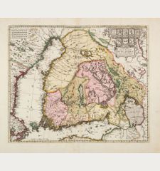
Nova Tabula Magni Ducatus Finlandiae in Provincias Divisa, Multis Locis...
F. de Wit, Amsterdam, circa 1680
Old colored antique map of Finland by Frederick de Wit. Surrounded by the Gulf of Bothnia and the Gulf of Finland. In the west parts of Sweden and Aland, in the east Lake Ladoga. With Helsinki,...
Nova Tabula Magni Ducatus Finlandiae in Provincias Divisa, Multis Locis...
12983Old coloured map of Finland. Printed in Amsterdam by F. de Wit circa 1680.
450,00 €

![Anonymous: Ch'onha Chido [Atlas of all under Heaven] Anonymous, Korean Manuscript Atlas, Chonha-Chido, 1800: Ch'onha Chido [Atlas of all under Heaven]](https://www.vintage-maps.com/4291-home_default/anonymous-korean-manuscript-atlas-chonha-chido-1800.jpg)
