Product successfully added to your shopping cart
There are 0 items in your cart. There is 1 item in your cart.
Total products

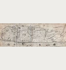
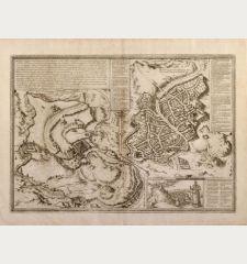
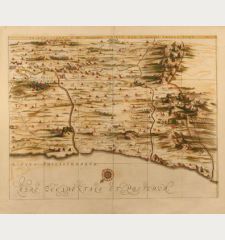
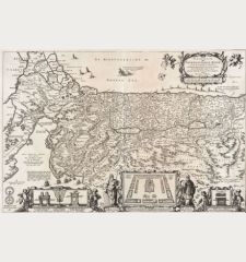
Chorographia Terrae Sanctae in Angustiorem formam Redacta et ex Variis Auctoribus a...
Jacobus Tirinus (*1580 - †1636)Antique map of Palestine. Printed in Antwerp circa 1638.
Reference 10054
Description
Large attractive plan of the Holy Land in east orientation. First published in Antwerp 1632. Centered a city plan of Jerusalem after Villalpando 'Hierosolymae Veteris Imago'. Surrounded with 18 illustrationes showing the temple and its instruments (e.g. seven-branched candlestick). Two prints joint.
Details
| Cartographer | Jacobus Tirinus |
| Title | Chorographia Terrae Sanctae in Angustiorem formam Redacta et ex Variis Auctoribus a Multis Erroribus Expurgata |
| Publisher, Year | Antwerp, circa 1638 |
| Plate Size | 32.8 x 83.7 cm (12.9 x 33.0 inches) |
Condition
Little bit weak in print, minor age toning, serveral paper damages professionally restored.
Cartographer
Jacobus Tirinus, was a Jesuit born 1580 in Antwerp. Sein Hauptwerk Commentarium in Universam S. Scripturam wurde 1632 und 1703 in 3 Folio-Bänden in Lion gedruckt. (Jöcher, Chr.: Allgemeines Gelehrtenlexikon, Leipzig, 1751). He died 1636 in Antwerp.
Images to Download
If you like to download the image of this map with a resolution of 1200 pixels, please follow the link below.
You can use this image for publication on your personal or commercial websites for free if you set a link to this website. If you need photographs with a higher resolution, please contact us.
Jacobus Tirinus: Chorographia Terrae Sanctae in Angustiorem formam Redacta et ex Variis Auctoribus a Multis Erroribus Expurgata.
Antique map of Palestine. Printed in Antwerp circa 1638.
Holy Land - Tirinus, Jacobus - Chorographia Terrae Sanctae in Angustiorem...

![[Die Tafel gibt ein klein anzeigung...] [Die Tafel gibt ein klein anzeigung...]](https://www.vintage-maps.com/1544-home_default/muenster-holy-land-israel-cyprus-1574.jpg)

![[Nile River delta] [Nile River delta]](https://www.vintage-maps.com/2049-home_default/muenster-egypt-nile-river-1574.jpg)
