Product successfully added to your shopping cart
There are 0 items in your cart. There is 1 item in your cart.
Total products

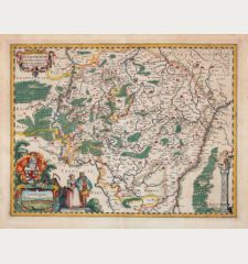
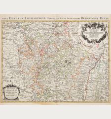
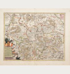
Ducatus Lutzenburgici Tabula Nuperrime in Lucem Edita
Frederick de Wit (*1630 - †1706)Old coloured map of Luxembourg. Printed in Amsterdam by F. de Wit circa 1680.
Reference 12036
Description
Antique map of Luxembourg by Frederick de Wit. In the east the Moselle from Metz to Trier, in the west the Meuse with Charleville-Mézières. With Liège, Arel and Bastnach. Decorated with coat of arms and a mileage scale.
Details
| Cartographer | Frederick de Wit |
| Title | Ducatus Lutzenburgici Tabula Nuperrime in Lucem Edita |
| Publisher, Year | F. de Wit, Amsterdam, circa 1680 |
| Plate Size | 46.2 x 55.5 cm (18.2 x 21.9 inches) |
| Sheet Size | 50.7 x 60.8 cm (20.0 x 23.9 inches) |
Condition
Centrefold backed at upper and lower margin. Very good condition with beautiful old colours.
Cartographer
Frederick de Wit, born 1630 in Amsterdam, was a famous engraver and publisher in Amsterdam. He acquired many of the printing plates of Blaeu and Janssonius when it came to auction. His map were very popular because of the quality of the engravings and the beautiful colouring. After his death in 1706, his work was re-issued by Pieter Mortier and Covens & Mortier.
Images to Download
If you like to download the image of this map with a resolution of 1200 pixels, please follow the link below.
You can use this image for publication on your personal or commercial websites for free if you set a link to this website. If you need photographs with a higher resolution, please contact us.
Frederick de Wit: Ducatus Lutzenburgici Tabula Nuperrime in Lucem Edita.
Old coloured map of Luxembourg. Printed in Amsterdam by F. de Wit circa 1680.
Luxembourg - Wit, Frederick de - Ducatus Lutzenburgici Tabula Nuperrime in...

