Product successfully added to your shopping cart
There are 0 items in your cart. There is 1 item in your cart.
Total products
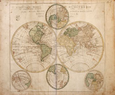
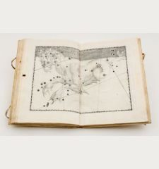
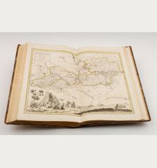
Geographischer Atlas bestehend in 44 Land-Charten, worauf alle Theile des Erd-Creyses...
Leonhard Euler (*1707 - †1783)School atlas of the Mathematician Leonhard Euler with 44 engraved maps. Second edition, published 1760 in Berlin.
Reference 10027
Description
Rare school atlas by the famous mathematican Leonhard Euler. It was the most successful project of the "Royal Academy of Sciences" in Berlin. First edition was published in 1753, titled 'Atlas geographicus omnes orbis terrarum regiones in XLI tabulis' with a preamble of L. Euler. This second edition was published 1760, followed by third unchanged edition in 1777 until 1784.
This Atlas includes 4 maps of the world (one in two sheets), 4 maps of the continents (Africa, Asia, America and Europe), 1 map of America in 4 sheets, 1 map of Europe in 4 sheets, 4 map of Great Britain, one map of Russia, one map of Palestine and 21 map mainly European countries including Scandinavia, Denmark, Greece, Italy, Spain, France, Turkey, Germany, the Lower Countries, Poland and others.
This Atlas includes 4 maps of the world (one in two sheets), 4 maps of the continents (Africa, Asia, America and Europe), 1 map of America in 4 sheets, 1 map of Europe in 4 sheets, 4 map of Great Britain, one map of Russia, one map of Palestine and 21 map mainly European countries including Scandinavia, Denmark, Greece, Italy, Spain, France, Turkey, Germany, the Lower Countries, Poland and others.
Details
| Cartographer | Leonhard Euler |
| Title | Geographischer Atlas bestehend in 44 Land-Charten, worauf alle Theile des Erd-Creyses vorgestellet werden. Auf Befehl der Königlichen Academie der Wissenschaften nach den bischer herausgekommenen besten Charten beschrieben, und insbesondere zum... |
| Publisher, Year | Christian Ludewig Kunst, Berlin, 1760 |
| Size | 37.0 x 24.0 cm (14.6 x 9.4 inches), Folio |
| Collation | 8 pages |
| Illustrations | 44 copper engraved maps |
| Cover | Half leather binding |
Condition
Cover stronger rubbed, upper spine with defects.
Map 44 (Mare Pacificum) is missing, one extra map of Poland bound. With contemporary owner's names, several manuscript notes in many maps and margin, small stamp of the Academy on each map to show authenticity. Some maps with tears in centrefold, some water stained in margin, browning and staining.
Cartographer
Leonhard Euler was born 1707 in Basel and has been one of the most famous mathematician. From 1720 he studied at the University of Basel by Johann Bernoulli. From 1727 he was Professor for Mathematics and Physics at the University of Saint Petersburg. 1741 he followed a call of Frederick II of Prussia to the Berlin Academy. After 25 years in Berlin he left for Saint Petersburg a second time. He died 1783 in Saint Petersburg.
Images to Download
If you like to download the image of this map with a resolution of 1200 pixels, please follow the link below.
You can use this image for publication on your personal or commercial websites for free if you set a link to this website. If you need photographs with a higher resolution, please contact us.
Leonhard Euler: Geographischer Atlas bestehend in 44 Land-Charten, worauf alle Theile des Erd-Creyses vorgestellet werden. Auf Befehl der....
School atlas of the Mathematician Leonhard Euler with 44 engraved maps. Second edition, published 1760 in Berlin.
Atlases - Euler, Leonhard - Geographischer Atlas bestehend in 44...


![Ch'onha Chido [Atlas of all under Heaven] Ch'onha Chido [Atlas of all under Heaven]](https://www.vintage-maps.com/3336-home_default/anonymous-korean-manuscript-atlas-chonha-chido-1820.jpg)
![Ch'onha Chido [Atlas of all under Heaven] Ch'onha Chido [Atlas of all under Heaven]](https://www.vintage-maps.com/4291-home_default/anonymous-korean-manuscript-atlas-chonha-chido-1800.jpg)
![Ch'onha chido [Atlas of all under Heaven] Ch'onha chido [Atlas of all under Heaven]](https://www.vintage-maps.com/3314-home_default/anonymous-korean-woodblock-atlas-chonha-chido-1750.jpg)