Product successfully added to your shopping cart
There are 0 items in your cart. There is 1 item in your cart.
Total products
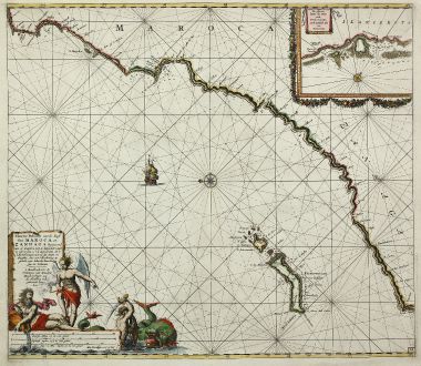
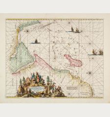
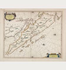
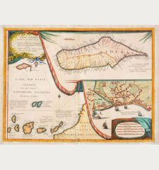
Nieuwe Pascaert vande Kust van Maroca en Zanhaga Beginnend van C. Cantin tot C....
Johannes van Keulen (*1654 - †1711)Coloured sea chart of the Canary Island, Lanzarote, Atlantic, North Africa. Printed in Amsterdam by van Keulen circa 1720.
Reference 11301
Description
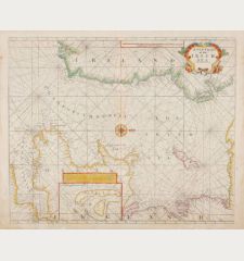
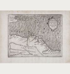
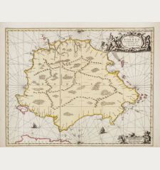
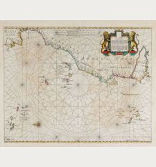
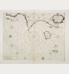
Highly decorative sea chart of the North West coast of Africa with Fuerteventura and Lanzarote. Shows the south-western coast of Morocco and western parts of the Sahara, from the Cape Cantin to Cape Bajador. The inset map on the top right shows ports and anchorages with sandy banks of Lanzarote. Beautified with rhumb lines, compass rose and a sailing ship. A figural cartouche showing three mythical figures, one of it in a dramatic battle with a sea monster. Oriented to the east.
Details
| Cartographer | Johannes van Keulen |
| Title | Nieuwe Pascaert vande Kust van Maroca en Zanhaga Beginnend van C. Cantin tot C. Bajador, waer in ook te sien is 't I. Lancerota en 't I. Forteventura ... |
| Publisher, Year | van Keulen, Amsterdam, circa 1720 |
| Plate Size | 50.5 x 57.6 cm (19.9 x 22.7 inches) |
| Sheet Size | 53.0 x 60.6 cm (20.9 x 23.9 inches) |
| Reference | Koeman, C. (Sea) II, 41. |
Condition
Very good conditions.
Cartographer
Johannes van Keulen, born in 1654, was a bookseller in Amsterdam and funded a publishing company in 1678. The family owned company was successful until middle of 19th century, also the sons and grandsons of Johannes had large contribution. The two major atlases have been the Zee Atlas first published 1680 and the Zee-Fakkel first printed 1681 with editions up to 1803. He died in 1711.
Images to Download
If you like to download the image of this map with a resolution of 1200 pixels, please follow the link below.
You can use this image for publication on your personal or commercial websites for free if you set a link to this website. If you need photographs with a higher resolution, please contact us.
Johannes van Keulen: Nieuwe Pascaert vande Kust van Maroca en Zanhaga Beginnend van C. Cantin tot C. Bajador, waer in ook te sien is 't I.....
Coloured sea chart of the Canary Island, Lanzarote, Atlantic, North Africa. Printed in Amsterdam by van Keulen circa 1720.
Sea Charts - Keulen, Johannes van - Nieuwe Pascaert vande Kust van Maroca en...

![[Manuscript Chart of the South Atlantic Ocean] Tweede stuck wassende Graedkaert van de Kaap Verdische Eilanden tot de Kaap [Manuscript Chart of the South Atlantic Ocean] Tweede stuck wassende Graedkaert van de Kaap Verdische Eilanden tot de Kaap](https://www.vintage-maps.com/3745-home_default/blaeu-manuscript-1690.jpg)
