Product successfully added to your shopping cart
There are 0 items in your cart. There is 1 item in your cart.
Total products
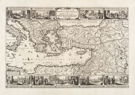
Geographische Beschryvinghe Van de Wandeling Der Apostelen ende De Reysen Pauli...
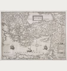
Nicolas Visscher (*1618 - †1679)Old map of the Eastern Mediterranean Sea. Printed in Amsterdam by Paulus Aertsz van Ravesteyn in 1654.
Reference 12739
Description
Very decorative map of the Eastern Mediterranean by Nicolas Visscher from 1654. From Italy to the Holy Land, Iraq and up to the Red Sea. With Sicily, Malta and Cyprus. Shows the travel of St. Paul the Apostle. Surrounded by 9 views with scenes of the life and travels of the Apostle Paul. From the Dutch Ravesteyn Bible of 1654.
Details
| Cartographer | Nicolas Visscher |
| Title | Geographische Beschryvinghe Van de Wandeling Der Apostelen ende De Reysen Pauli... |
| Publisher, Year | Paulus Aertsz van Ravesteyn, Amsterdam, 1654 |
| Plate Size | 32.0 x 48.0 cm (12.6 x 18.9 inches) |
| Sheet Size | 39.8 x 54.4 cm (15.7 x 21.4 inches) |
Condition
In the lower margin at the usual folds a small tears outside the of the image backed. Early and strong print, crisp impression. Excellent condition.
Cartographer
The Visscher family were art and map dealers in Amsterdam during the 17th century. Funded by C. J. Visscher (1587-1652), the business was continued by his son and grandson both named Nicolas. Nicolas Visscher I was born 1618 in Wenns, Austria. He died 1679 in Linz. After the death of Nicolas II, his widow passed the business to Pieter Schenk.
Images to Download
If you like to download the image of this map with a resolution of 1200 pixels, please follow the link below.
You can use this image for publication on your personal or commercial websites for free if you set a link to this website. If you need photographs with a higher resolution, please contact us.
Nicolas Visscher: Geographische Beschryvinghe Van de Wandeling Der Apostelen ende De Reysen Pauli....
Old map of the Eastern Mediterranean Sea. Printed in Amsterdam by Paulus Aertsz van Ravesteyn in 1654.
Mediterranean - Visscher, Nicolas - Geographische Beschryvinghe Van de...

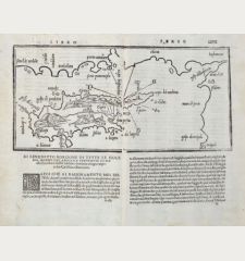
![[Map of Europe] [Map of Europe]](https://www.vintage-maps.com/2931-home_default/bordone-europe-continent-1528-1565.jpg)
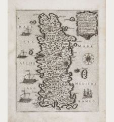
![[Candia, Crete, Karpathos] [Candia, Crete, Karpathos]](https://www.vintage-maps.com/2939-home_default/bordone-greece-crete-and-karpathos-1528-1565.jpg)
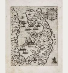
![[Euboea, Negroponte, Bosporus, Istanbul] [Euboea, Negroponte, Bosporus, Istanbul]](https://www.vintage-maps.com/2937-home_default/bordone-greece-negroponte-euboea-1528-1565.jpg)
