Product successfully added to your shopping cart
There are 0 items in your cart. There is 1 item in your cart.
Total products
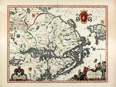
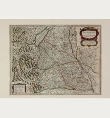
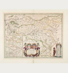
Ducatus Uplandia. Joh. et Cornelius Blaeu exc.
Willem Janszoon Blaeu (*1571 - †1638)Old coloured map of Uppland, Sweden. Printed in Amsterdam by Joan & Cornelius Blaeu circa 1645.
Reference 10845
Description
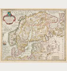
Original old coloured engraved map of central Sweden showing the area around Stockholm. With a Swedish coat of arms, a figural cartouche with rural people and a knight in amour, a allegoric cartouche with coat of arms dedicated to 'D. Michaeli le Blon'. From 'Atlas Major' published by Joan and Cornelius Blaeu around 1645, with French text on verso.
Details
| Cartographer | Willem Janszoon Blaeu |
| Title | Ducatus Uplandia. Joh. et Cornelius Blaeu exc. |
| Publisher, Year | Joan & Cornelius Blaeu, Amsterdam, circa 1645 |
| Plate Size | 38.2 x 49.8 cm (15.0 x 19.6 inches) |
| Sheet Size | 49.7 x 58.8 cm (19.6 x 23.1 inches) |
Condition
Wide margin, slightly waterstained in upper left and right margin just affecting the image, upper centrefold backed around 5cm, good wide margin example with attractive old hand colouring.
Cartographer
Willem Janszoon Blaeu was born 1571 in Alkmaar. He was trained from 1594 to 1596 by the famous danish astronomer Tycho Brahe. 1599 he went to Amsterdam and founded a business as globe maker. Later he started producing map and sea charts, including his first world map in 1605. In 1633 he was appointed Hydrographer for the Dutch East India Company (VOC). His most famous work was the Theatrum Orbis Terrarum sive Atlas Novus of 1635, which was published until 1655 in total six volumes. After Blaeu's death in 1638 his sons Joan and Cornelis continued the business and finished the Atlas Novus and started an even larger work, the Atlas Maior, which reached 12 volumes. In 1672 a fire destroyed the printing house and most of the printing plates. Joan Blaeu died the following year, leaving the business to his three sons Willem (1635-1701), Pieter (1637-1706) and Joan II (1650-1712). While the business began to decline in the hands of his sons, the dominance of the Blaeu publishing house finally ended in 1703 when the V.O.C. stopped publishing maps bearing the Blaeu family name. Some of the surviving plates were bought by F. de Wit and Schenk & Valk.
Images to Download
If you like to download the image of this map with a resolution of 1200 pixels, please follow the link below.
You can use this image for publication on your personal or commercial websites for free if you set a link to this website. If you need photographs with a higher resolution, please contact us.
Willem Janszoon Blaeu: Ducatus Uplandia. Joh. et Cornelius Blaeu exc..
Old coloured map of Uppland, Sweden. Printed in Amsterdam by Joan & Cornelius Blaeu circa 1645.
Scandinavia - Blaeu, Willem Janszoon - Ducatus Uplandia. Joh. et Cornelius Blaeu...

