Product successfully added to your shopping cart
There are 0 items in your cart. There is 1 item in your cart.
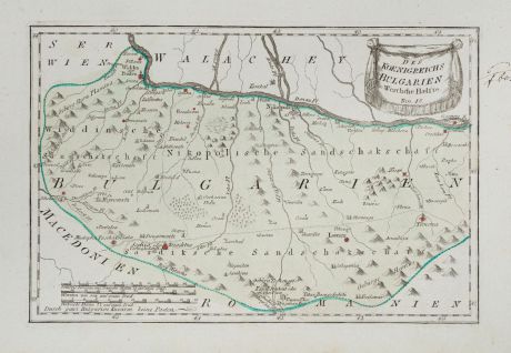
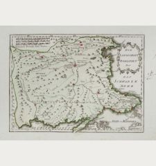
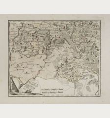
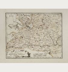
Des Koenigreichs Bulgarien Westliche Haelfte
Franz Johann Joseph von Reilly (*1766 - †1820)Reference 12263
Description
Antique map of Bulgaria by F. J. v. Reilly. Shows the area with the Danube between Widdin and Ruse in the north and Sofia and the Balkan Mountains in the south.
From Reilly's Schauplatz der fünf Theile der Welt, an atlas with over 1000 maps in total. It became famous for the accuracy and high level of detail of the maps and was published in three parts between 1789 and 1806 in Vienna.
Details
| Cartographer | Franz Johann Joseph von Reilly |
| Title | Des Koenigreichs Bulgarien Westliche Haelfte |
| Publisher, Year | Reilly, Vienna, 1791 |
| Plate Size | 21.2 x 32.2 cm (8.3 x 12.7 inches) |
| Sheet Size | 28.6 x 41.8 cm (11.3 x 16.5 inches) |
Condition
Cartographer
Images to Download
If you like to download the image of this map with a resolution of 1200 pixels, please follow the link below.
You can use this image for publication on your personal or commercial websites for free if you set a link to this website. If you need photographs with a higher resolution, please contact us.
Romania - Moldavia - Reilly, Franz Johann Joseph von - Des Koenigreichs Bulgarien Westliche Haelfte

