Product successfully added to your shopping cart
There are 0 items in your cart. There is 1 item in your cart.
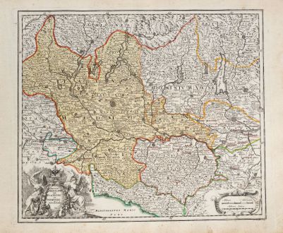
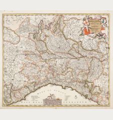
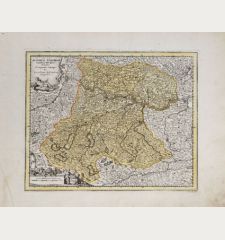
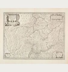
Ducatus Mediolanensis Placentini et Parmensis nova Tabula
Christoph Weigel (*1654 - †1725)Reference 12008
Description
Antique map of Lombardy (Lombardia) by Christoph Weigel. Showing the northwestern regions of Italy with Lago di Como, Lago Maggiore and Lago di Lugano, Milan (Milano) in the centre, Genoa in the south, Parma, Reggio Emilia and Modena in the southeast, to Verona and Trento with Lake Garda (Lago di Garda) in the northeast. Decorated with a nice title cartouche. From Bequemer Schul- und Reisen-Atlas also titled Atlas scholasticus et itinerarius by Christoph Weigel. Weigel's well-known travel atlas, which he published in collaboration with Professor Johann David Köhler.
Details
| Cartographer | Christoph Weigel |
| Title | Ducatus Mediolanensis Placentini et Parmensis nova Tabula |
| Publisher, Year | Johann Ernst Adelbulner, Nuremberg, 1718 |
| Plate Size | 33.5 x 39.3 cm (13.2 x 15.5 inches) |
| Sheet Size | 38.2 x 46.7 cm (15.0 x 18.4 inches) |
Condition
Cartographer
Images to Download
If you like to download the image of this map with a resolution of 1200 pixels, please follow the link below.
You can use this image for publication on your personal or commercial websites for free if you set a link to this website. If you need photographs with a higher resolution, please contact us.
Italy - Weigel, Christoph - Ducatus Mediolanensis Placentini et...

![[Sardigna, Sardinia, Sardegna] [Sardigna, Sardinia, Sardegna]](https://www.vintage-maps.com/2947-home_default/bordone-italy-sardinia-sardegna-1528-1565.jpg)
