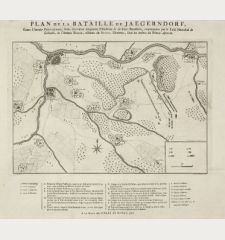
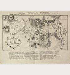
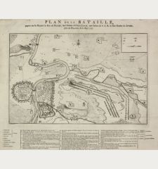
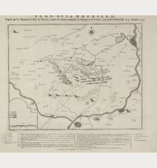
Product successfully added to your shopping cart
There are 0 items in your cart. There is 1 item in your cart.
Total products
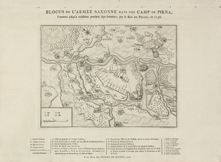
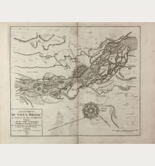
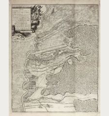
Blocus de l'Armée Saxonne dans son Camp de Pirna, Continué jusqu'à reddition pendant...
Pieter de HondtAntique map of Pirna, Saxony. Printed in The Hague in the year 1758.
Reference 11010
Description
Rare Military Plan of Pirna (Saxony) during the Seven Years' War by Pieter de Hondt. Showing the siege of Pirna at the beginning of the Seven Years War in 1756. After L. W. F. Von Oebschelwitz, engraved by J. V. Schley. French letterpress title above, a letterpress key beneath from A to K, I-V and 1-10.
Details
| Cartographer | Pieter de Hondt |
| Title | Blocus de l'Armée Saxonne dans son Camp de Pirna, Continué jusqu'à reddition pendant sept fermain, par le Roi de Prusse, en 1756. |
| Publisher, Year | The Hague, 1758 |
| Plate Size | 24.0 x 32.0 cm (9.4 x 12.6 inches) |
| Sheet Size | 38.5 x 53.0 cm (15.2 x 20.9 inches) |
Condition
Evidence of old folds, small holes from binding in top margin.
Cartographer
Pieter de Handt was an famish publisher active in The Hague during the 18th century.
Images to Download
If you like to download the image of this map with a resolution of 1200 pixels, please follow the link below.
You can use this image for publication on your personal or commercial websites for free if you set a link to this website. If you need photographs with a higher resolution, please contact us.
Pieter de Hondt: Blocus de l'Armée Saxonne dans son Camp de Pirna, Continué jusqu'à reddition pendant sept fermain, par le Roi de Prusse,....
Antique map of Pirna, Saxony. Printed in The Hague in the year 1758.
Germany - Hondt, Pieter de - Blocus de l'Armée Saxonne dans son Camp de...

![[Donau Strom von Sigmaringen bis Donauwörth] [Donau Strom von Sigmaringen bis Donauwörth]](https://www.vintage-maps.com/2606-home_default/anonymous-germany-baden-wuerttemberg-danube-1702.jpg)


![[De Boemia. / Tabula quarta & quinta Europae de nonnullis / Germaniae ...] [De Boemia. / Tabula quarta & quinta Europae de nonnullis / Germaniae ...]](https://www.vintage-maps.com/2304-home_default/fries-germany-1541.jpg)
